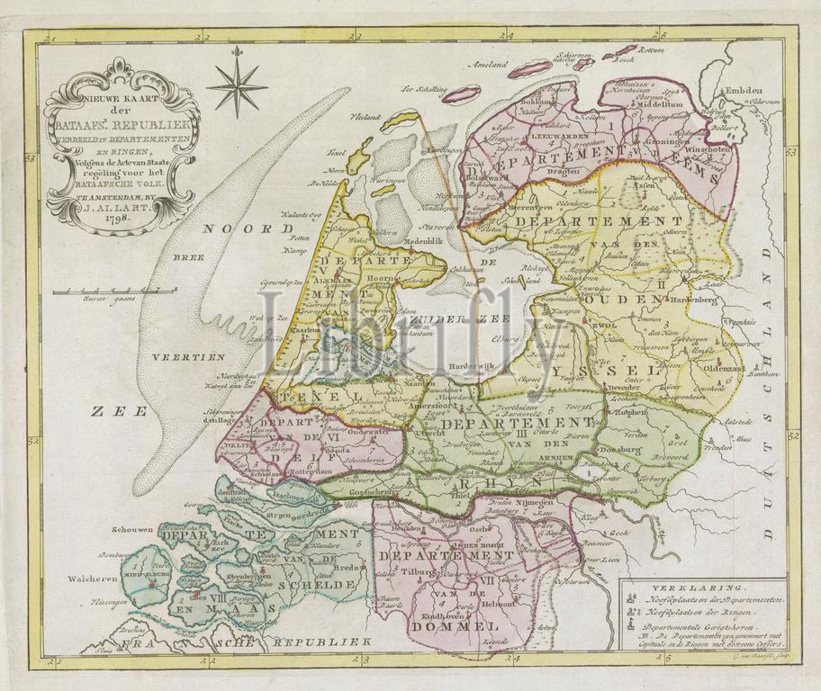
Amsterdam, Allart, Johannes, Netherlands, Baarsel, Cornelis van, New Map of the Batavian Republic divided into departments and rings, according to the Act of Constitution for the Batavian People, Map of the Batavian Republic, 1798, verso - stamped, New map of the Batavian Republic divided into 8 departments and within them into rings, 1798., print, map, prints, Frederik Muller Historieplaten, height 267 mm, width 330 mm, Dutch, 1761 - 1826-08-17, print maker, printmaker, 1798 - 1798, paper, papier, etching, etchings, engraving, engraving (printing process), hand coloring, Publication (Event), Publication, publisher
Keywords:
Amsterdam, Allart, Johannes, Netherlands, Baarsel, Cornelis van, New Map, Batavian Republic divided, departments, rings, according, Act, Constitution, Batavian People, Map, Batavian Republic, 1798, verso - stamped, New map, 8 departments, within them, print, map, prints, Frederik Muller Historieplaten, height 267 mm, width 330 mm, Dutch, 1761 - 1826-08-17, print maker, printmaker, 1798 - 1798, paper, papier, etching, etchings, engraving, printing process, hand coloring, Publication, Event, publisher
Image ID:
The watermark in the image will not appear on the final download.