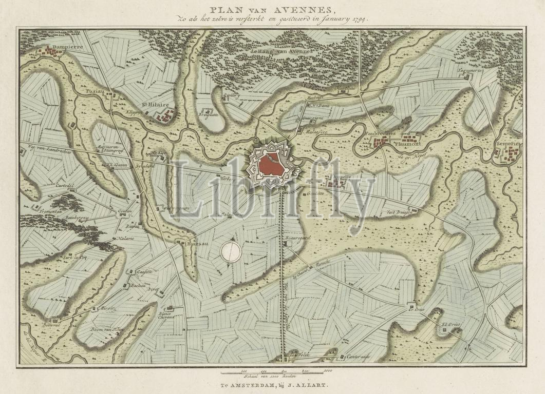
Amsterdam, Allart, Johannes, Northern Netherlands, Baarsel, Cornelis van, Maps of fortified towns in the Austrian Netherlands in 1794, Plan of Avennes, as it was fortified and situated in January 1794, Plan of the fortifications of Avennes, 1794, verso - stamped, Map of the fortifications around the town Avennes, in January 1794. Part of a series of seven sheets with maps of fortified towns in the Austrian Netherlands at the time of the second French invasion under General Pichu in 1794., print, engraving, engravings, Frederik Muller Historieplaten, height 270 mm, width 368 mm, Dutch, 1761 - 1826-08-17, print maker, printmaker, 1794 - 1794, paper, papier, etching, etchings, engraving (printing process), hand colouring, Publication (Event), Publication, publisher
Keywords:
Amsterdam, Allart, Johannes, Northern Netherlands, Baarsel, Cornelis van, Maps, fortified towns, Austrian Netherlands, 1794, Plan, Avennes, was fortified, situated, January 1794, fortifications, verso - stamped, Map, town Avennes, Part, series, seven sheets, maps, time, second French invasion under General Pichu, print, engraving, engravings, Frederik Muller Historieplaten, height 270 mm, width 368 mm, Dutch, 1761 - 1826-08-17, print maker, printmaker, 1794 - 1794, paper, papier, etching, etchings, printing process, hand colouring, Publication, Event, publisher
Image ID:
The watermark in the image will not appear on the final download.