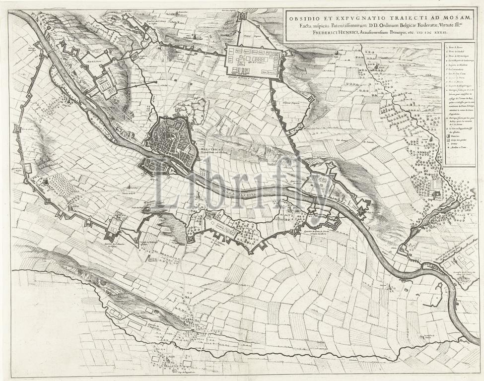
Amsterdam, Blaeu, Johannes Willemszoon, Obsidio et expugnato Trajecti ad Mosam, Facta auspiciis Potentissimorum DD Ordinum Belgicae Foederatae, Virtute Ill. mi Frederici Henrici, Arausionensium Principis, etc. CIↃ IↃC XXXII, Map of the siege of Maastricht, 1632, Map of the siege of Maastricht by the Dutch army under stadtholder Frederik Hendrik, 9 June to 21 August 1632. With the various army camps of the besiegers. On the right the legend 1-13. On a double sheet taken from the City Book of Blaeu, printed on the back with text in Latin., print, image, history print, map, prints, Frederik Muller Historieplaten, height 417 mm, width 533 mm, print maker, printmaker, 1649 - 1652, second quarter 17th century, paper, papier, etching, etchings, engraving, engraving (printing process), Publication (Event), Publication, Dutch, 1596-09-23 - 1673-05-28, publisher
Keywords:
Amsterdam, Blaeu, Johannes Willemszoon, Obsidio et expugnato Trajecti ad Mosam, Facta, auspiciis, Potentissimorum DD Ordinum Belgicae Foederatae, Virtute Ill, mi Frederici Henrici, Arausionensium Principis, etc, Ciↄ Iↄc Xxxii, Map, siege, Maastricht, 1632, Dutch army under stadtholder Frederik Hendrik, 9 June, 21 August 1632, various army camps, besiegers, right, legend 1-13, double sheet, City Book, printed, back, text, Latin, print, image, history print, map, prints, Frederik Muller Historieplaten, height 417 mm, width 533 mm, print maker, printmaker, 1649 - 1652, second quarter 17th century, paper, papier, etching, etchings, engraving, printing process, Publication, Event, Dutch, 1596-09-23 - 1673-05-28, publisher
Image ID:
The watermark in the image will not appear on the final download.