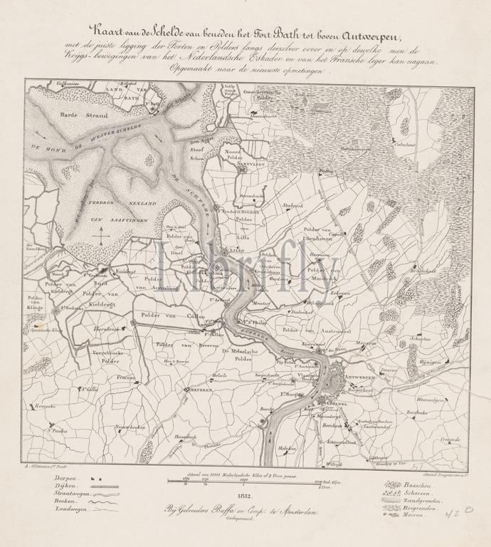
Amsterdam, Buffa en Zonen, Frans, Nederland, Desguerrois & Co., Oltmans jr., Alexander, Map of the Scheldt from below Fort Bath to above Antwerp, Map of Antwerp and the Citadel, 1832, Netherlands, bottom center - printed, Map of the Scheldt between Antwerp and Fort Bath. Above: title and description. Below: legend and scale. Map of Antwerp and the Citadel, at the time of the siege of Antwerp in December 1832., print, engraving, Roosdorp, prints, engravings, A. Oltmans Jr. Feçit, bottom left, '(...) with the correct location of the Forts and Polders along the same bank and on which one can follow the, Military movements of the Dutch Squadron and the French army., Drawn up according to the new measurements', above, Deposited, height 467 mm, width 335 mm, Dutch, 1814-02-25 - 1853-04-10, print maker, printmaker, 1832 - 1832, second quarter 19th century, paper, lithography (technique), printer, Publication (Event), Publication, publisher
Keywords:
Amsterdam, Buffa en Zonen, Frans, Nederland, Desguerrois & Co, Oltmans jr, Alexander, Map, Scheldt, Fort Bath, Antwerp, Citadel, 1832, Netherlands, bottom center - printed, title, description, legend, scale, time, siege, December 1832, print, engraving, Roosdorp, prints, engravings, A, Oltmans Jr, Feçit, bottom left, correct location, Forts, Polders, bank, follow, Military movements, Dutch Squadron, French army, Drawn up according, new measurements, Deposited, height 467 mm, width 335 mm, Dutch, 1814-02-25 - 1853-04-10, print maker, printmaker, 1832 - 1832, second quarter 19th century, paper, lithography, technique, printer, Publication, Event, publisher
Image ID:
The watermark in the image will not appear on the final download.