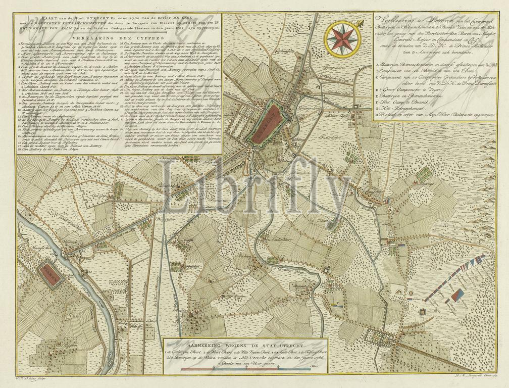
Amsterdam, Langeveld, Dirk Meland, Koning, Coenradus Henricus, Map of the city of Utrecht and one side of the river Leck with the batteries of retranchements built by the citizens of Utrecht on the orders of Mr. Rhyn Grave von Salm outside the city and surrounding places in the year 1787 were raised, Map of the defense of the city of Utrecht, 1787, verso - stamped, Map of the city of Utrecht and surroundings, up to Vianen, with the batteries and retreats erected under the command of the Rhine Count of Salm for the defense of the city against the States army of the stadholder located near Amersfoort, September 1787. With three cartouches with legends. In the lower cartouche a scale bar: Scale of an hour's walk., print, image, map, prints, Frederik Muller Historical plates, height 457 mm, width 558 mm, Dutch, 1754-07-02 - 1847, print maker, printmaker, 1789 - 1789, paper, etching, etchings, engraving, engraving (printing process), hand coloring, Publication (Event), Publication, publisher
Keywords:
Amsterdam, Langeveld, Dirk Meland, Koning, Coenradus Henricus, Map, city, Utrecht, side, river Leck, batteries, retranchements built, citizens, orders, Mr, Rhyn Grave von Salm outside, surrounding places, year 1787, raised, defense, 1787, verso - stamped, surroundings, up, Vianen, retreats, erected, under, command, Rhine Count, Salm, States army, stadholder, located, near Amersfoort, September 1787, three cartouches, legends, lower cartouche, scale bar, Scale, hour's walk, print, image, map, prints, Frederik Muller Historical plates, height 457 mm, width 558 mm, Dutch, 1754-07-02 - 1847, print maker, printmaker, 1789 - 1789, paper, etching, etchings, engraving, printing process, hand coloring, Publication, Event, publisher
Image ID:
The watermark in the image will not appear on the final download.