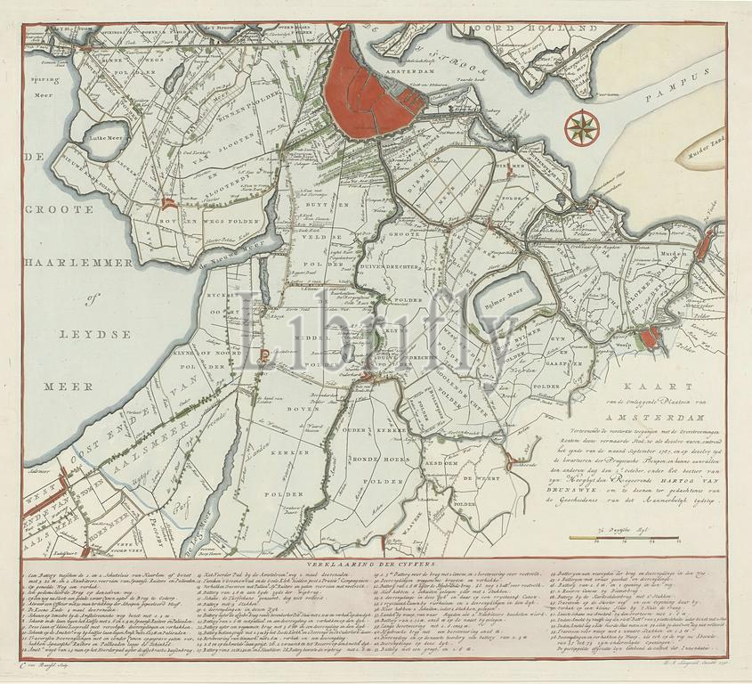
Amsterdam, Langeveld, Dirk Meland, Noordelijke Netherlands, Baarsel, Cornelis van, Map of the Surrounding Places of Amsterdam Showing the Fortified Approaches with the Floods at the End of September 1787, and at the Same Time the Quarters of the Prussian Troops, Map of Inundation around Amsterdam, 1787, Northern Netherlands, verso - stamped, Map of Amsterdam and environs showing the area that was flooded when the Prussian troops under the Duke of Brunswick approached, end of September - 1 October 1787. A dotted line indicates the outline of the inundation, at the bottom the legend 1-56., print, engraving, map, prints, engravings, Frederik Muller Historieplaten, height 455 mm, width 555 mm, Netherlands, 1761 - 1826-08-17, print maker, printmaker, 1790 - 1790, paper, papier, etching, engraving (printing process), hand coloring, Publication (Event), Publication, publisher
Keywords:
Amsterdam, Langeveld, Dirk Meland, Noordelijke Netherlands, Baarsel, Cornelis van, Map, Surrounding Places, Amsterdam Showing, Fortified Approaches, Floods, September 1787, Time, Quarters, Prussian Troops, Inundation, 1787, Northern Netherlands, verso - stamped, environs showing, area, was flooded, Prussian troops under, Duke, Brunswick approached, September - 1 October 1787, dotted line indicates, outline, inundation, bottom, legend 1-56, print, engraving, map, prints, engravings, Frederik Muller Historieplaten, height 455 mm, width 555 mm, Netherlands, 1761 - 1826-08-17, print maker, printmaker, 1790 - 1790, paper, papier, etching, printing process, hand coloring, Publication, Event, publisher
Image ID:
The watermark in the image will not appear on the final download.