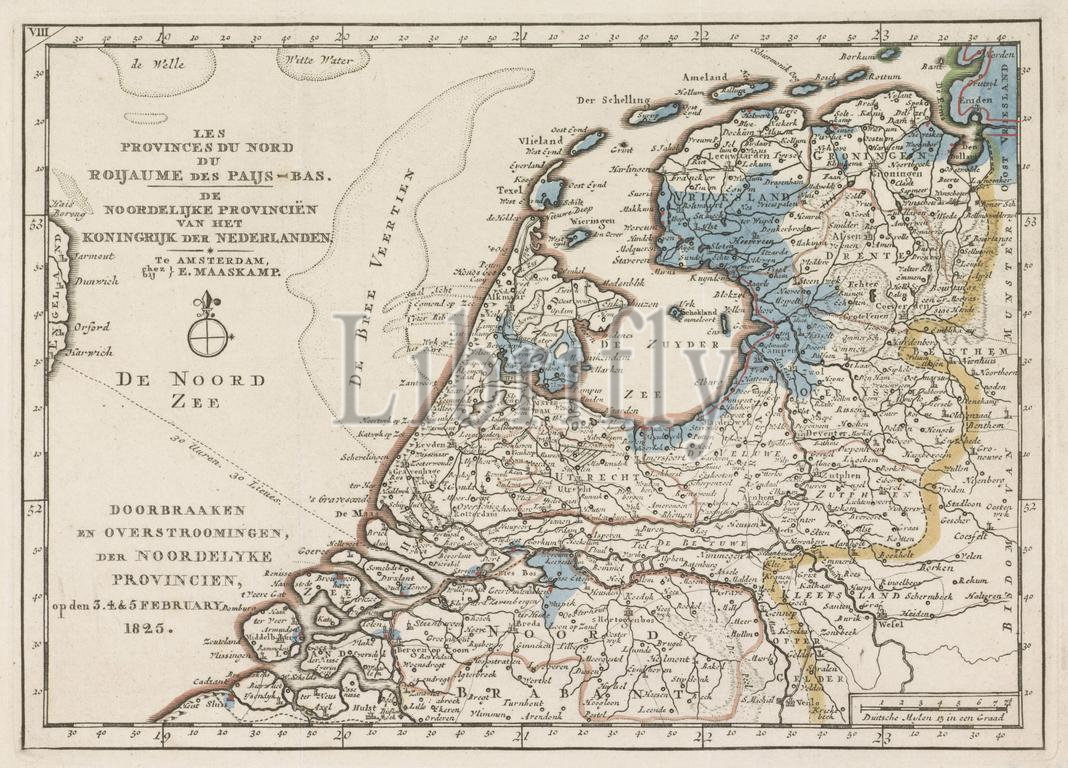
Amsterdam, Maaskamp, Evert, Netherlands, Five maps of the areas affected by flooding in 1825, Les Provinces du Nord du Roijaume des Paijs-Bas, The Northern Provinces of the Kingdom of the Netherlands, Breaching and Flooding, the Northern Provinces, on 3.4. & 5 February 1825, Map of the area in the north of the Netherlands affected by the floods in 1825, verso - stamped, Map of the area around the Zuiderzee and in the north of the Netherlands affected by the floods in February 1825. The flooded areas are coloured blue. Part of a series of five maps of the affected areas., print, image, map, prints, images, Frederik Muller Historieplaten, height 175 mm, width 245 mm, print maker, printmaker, 1825 - 1825, paper, engraving, engraving (printing process), hand colouring, Publication (Event), Publication, Noord-Nederlands, 1769-09-27 - 1834-01-31, publisher
Keywords:
Amsterdam, Maaskamp, Evert, Netherlands, Five maps, areas affected, flooding, 1825, Les Provinces du Nord du Roijaume, des, Paijs-Bas, Northern Provinces, Kingdom, Breaching, Flooding, 3.4, & 5 February 1825, Map, area, north, Netherlands affected, floods, verso - stamped, Zuiderzee, February 1825, flooded areas, coloured blue, Part, series, five maps, affected areas, print, image, map, prints, images, Frederik Muller Historieplaten, height 175 mm, width 245 mm, print maker, printmaker, 1825 - 1825, paper, engraving, printing process, hand colouring, Publication, Event, Noord-Nederlands, 1769-09-27 - 1834-01-31, publisher
Image ID:
The watermark in the image will not appear on the final download.