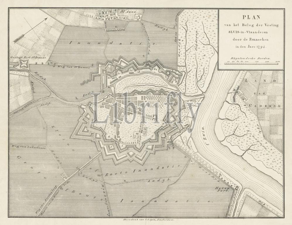
Amsterdam, Spin, Christiaan Andersen, Plan of the Siege of the Fortress Sluis-in-Vlaanderen by the French in the Year 1794, Siege of Sluis, 1794, verso - stamped, Map of the fortifications around the city of Sluis, besieged by the French in August 1794., print, engraving, map, prints, engravings, Frederik Muller Historieplaten, height 332 mm, width 420 mm, 1792-02-24 - 1865-10-30, print maker, printmaker, 1834 - 1856, paper, papier, lithografie (technique)
Keywords:
Amsterdam, Spin, Christiaan Andersen, Plan, Siege, Fortress Sluis-in-Vlaanderen, French, Year 1794, Sluis, 1794, verso - stamped, Map, fortifications, city, besieged, August 1794, print, engraving, map, prints, engravings, Frederik Muller Historieplaten, height 332 mm, width 420 mm, 1792-02-24 - 1865-10-30, print maker, printmaker, 1834 - 1856, paper, papier, lithografie, technique
Image ID:
The watermark in the image will not appear on the final download.