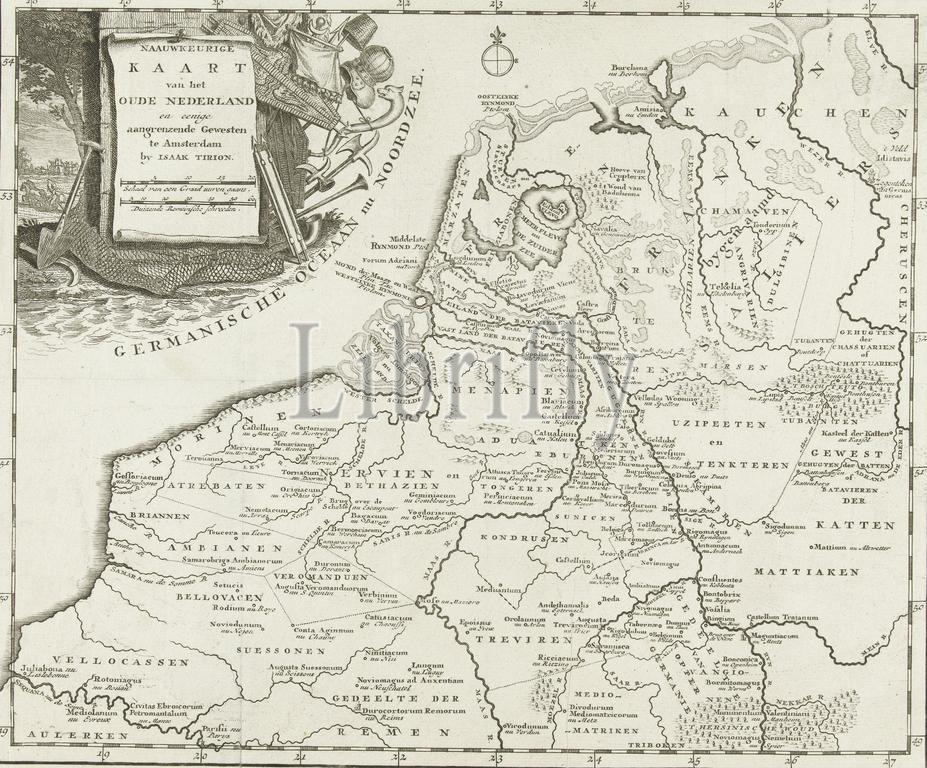
Amsterdam, Tirion, Isaak, Nederland, Na Preciese Kaart van het Oude Nederland en eenige buren Gewesten, Historische kaart van Nederland with the areas of the Batavians and Frisians, Netherlands, Map of the Netherlands at the time of the Batavians. Top left a cartouche with the title decorated with attributes of fishing, hunting and agriculture., print, prent, historieprent, kaart, prints, prenten, Frederik Muller Historieplaten, height 295 mm, width 353 mm, print maker, prentmaker, 1747 - 1759, third quarter 18th century, derde kwart 18e eeuw, paper, papier, etching, etsen, engraving, graveren (drukprocedé), Publication (Event), Publicatie, Noord-Nederlands, 1705 - 1765, publisher
Keywords:
Amsterdam, Tirion, Isaak, Nederland, Na Preciese Kaart van het Oude Nederland en eenige buren Geweste, Historische kaart van Nederland, areas, Batavians, Frisians, Netherlands, Map, time, Top left, cartouche, title decorated, attributes, fishing, hunting, agriculture, print, prent, historieprent, kaart, prints, prenten, Frederik Muller Historieplaten, height 295 mm, width 353 mm, print maker, prentmaker, 1747 - 1759, third quarter 18th century, derde kwart 18e eeuw, paper, papier, etching, etsen, engraving, graveren, drukprocedé, Publication, Event, Publicatie, Noord-Nederlands, 1705 - 1765, publisher
Image ID:
The watermark in the image will not appear on the final download.