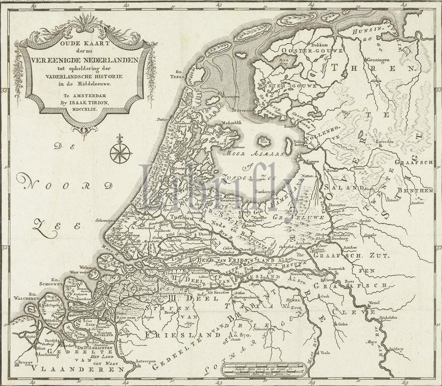
Amsterdam, Tirion, Isaak, Northern Netherlands, Old Map of the now United Netherlands to clarify the history of the Fatherland in the Middle Ages, Map of the Netherlands in the Middle Ages, Map of the Netherlands in the Middle Ages., print, picture, historical picture, map, prints, pictures, Frederik Muller Historieplaten, height 288 mm, width 330 mm, print maker, printmaker, 1749 - 1749, second quarter 18th century, second quarter of the 18th century, paper, etching, etchings, engraving, engraving (printing process), Publication (Event), Publication, 1705 - 1765, publisher
Keywords:
Amsterdam, Tirion, Isaak, Northern Netherlands, Old Map, now United Netherlands, clarify, history, Fatherland, Middle Ages, Map, Netherlands, print, picture, historical picture, map, prints, pictures, Frederik Muller Historieplaten, height 288 mm, width 330 mm, print maker, printmaker, 1749 - 1749, second quarter 18th century, second quarter, 18th century, paper, etching, etchings, engraving, printing process, Publication, Event, 1705 - 1765, publisher
Image ID:
The watermark in the image will not appear on the final download.