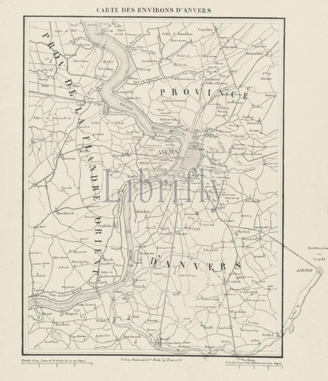
Breda, Broese & Comp., Dordrecht, Steuerwald & Co., Netherlands, Carte des environs d'Anvers, Map of and around Antwerp, 1832, verso - stamped, Map of the area around Antwerp, at the time of the siege of Antwerp in December 1832. On the right, outside the frame, the location of the headquarters of Leopold, Prince of Saxe-Coburg-Saalfeld, near Lier., print, engraving, map, prints, engravings, Frederik Muller Historieplaten, height 423 mm, width 333 mm, print maker, printmaker, 1832 - 1833, paper, papier, lithografie (techniek), printer, drukker, Publication (Event), Publicatie, publisher
Keywords:
Breda, Broese & Comp, Dordrecht, Steuerwald & Co, Netherlands, Carte des environs d'Anvers, Map, Antwerp, 1832, verso - stamped, area, time, siege, December 1832, right, outside, frame, location, headquarters, Leopold, Prince, Saxe-Coburg-Saalfeld, near Lier, print, engraving, map, prints, engravings, Frederik Muller Historieplaten, height 423 mm, width 333 mm, print maker, printmaker, 1832 - 1833, paper, papier, lithografie, techniek, printer, drukker, Publication, Event, Publicatie, publisher
Image ID:
The watermark in the image will not appear on the final download.