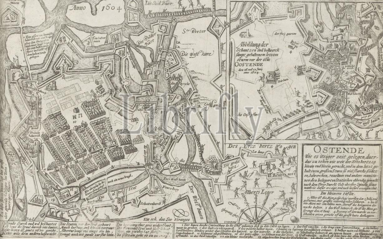
Cologne, Hogenberg, French, Series 10: Dutch and Foreign Events, 1587-1612, Ostend As it was at that time, so to see how far the ertzhertzog came and went, Map of Ostend, 1604, Map of besieged Ostend, June-July 1604. Plan of the city and the positions of the troops of Albrecht. Inset showing battles around a stronghold on the west side of the city on 16-17 July. Cartouche with title and text. With 12-line caption in German and the legend of the numbers 1-25. Numbered lower left: 349. The print is part of an album., print, picture, news print, map, album page, prints, pictures, Frederik Muller Historieplaten, height 215 mm, width 343 mm, Dutch, German, 1540 - 1590, print maker, printmaker, 1604 - 1606, first quarter 17th century, paper, engraving, engraving (printing process)
Keywords:
Cologne, Hogenberg, French, Series 10, Dutch, Foreign Events, 1587-1612, Ostend, was, time, see, far, ertzhertzog came, went, Map, 1604, besieged Ostend, June-July 1604, Plan, city, positions, troops, Albrecht, Inset, showing, battles, stronghold, west side, 16-17 July, Cartouche, title, text, 12-line caption, German, legend, numbers 1-25, Numbered lower left, 349, print, part, album, picture, news print, map, album page, prints, pictures, Frederik Muller Historieplaten, height 215 mm, width 343 mm, 1540 - 1590, print maker, printmaker, 1604 - 1606, first quarter 17th century, paper, engraving, printing process
Image ID:
The watermark in the image will not appear on the final download.