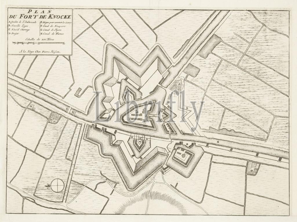
Den Haag, Husson, Pieter, Noordelijke Nederlanden, Exact Relaas Van de Entreprise op het Fort de Knocque op den 6. October 1712, Plan du Fort de Knocke, Vestingplattegrond van Fort Knokke, 1712, The Hague, Northern Netherlands, bij surprise conquered by the Dutch under Simon de Ruë, 6 October 1712. At the top right a cartouche with title, legend AH and a scale bar: Echelle de 100 Toises. On the sheet below the plate the account of the action in 3 columns., print, engraving, map, news print, prints, Frederik Muller Historieplaten, height 526 mm, width 472 mm, print maker, printmaker, 1712 - 1712, paper, papier, etching, etchings, letterpress printing, Publication (Event), Publication, 1678 - 1733, publisher
Keywords:
Den Haag, Husson, Pieter, Noordelijke Nederlanden, Exact Relaas Van de Entreprise op, het, Fort de Knocque, op, den 6, October 1712, Plan, du, Fort de Knocke, Vestingplattegrond van Fort Knokke, 1712, Hague, Northern Netherlands, bij surprise conquered, Dutch under Simon de Ruë, 6 October 1712, top right, cartouche, title, legend AH, scale bar, Echelle de 100 Toises, sheet, plate, account, action, 3 columns, print, engraving, map, news print, prints, Frederik Muller Historieplaten, height 526 mm, width 472 mm, print maker, printmaker, 1712 - 1712, paper, papier, etching, etchings, letterpress printing, Publication, Event, 1678 - 1733, publisher
Image ID:
The watermark in the image will not appear on the final download.