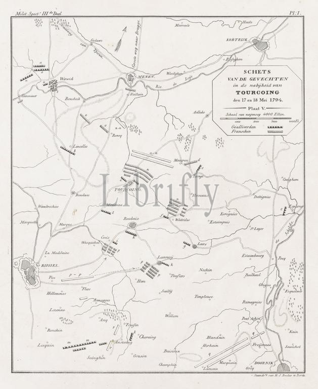
Dordrecht, Backer, Hilmar Johannes, Sketch of the fighting in the vicinity of Tourcoing on 17 and 18 May 1794, Map showing the positions at the battle of Tourcoing, May 1794, verso - stamped, Map showing the positions of the Allied and French armies at Tourcoing between Kortrijk and Lille, 17-18 May 1794. Marked at the top: Milit. Spectr. IIIde Deel, Pl: I., print, prent, map, prints, engravings, Frederik Muller Historieplaten, height 297 mm, width 258 mm, Nederlands, 1804-09-17 - 1845-05-01, print maker, engraving maker, 1834 - 1835, paper, papier, lithografie (techniek)
Keywords:
Dordrecht, Backer, Hilmar Johannes, Sketch, fighting, vicinity, Tourcoing, 17, 18, 1794, Map showing, positions, battle, verso - stamped, Allied, French armies, Kortrijk, Lille, 17-18, Marked, top, Milit, Spectr, IIIde Deel, Pl, I, print, prent, map, prints, engravings, Frederik Muller Historieplaten, height 297 mm, width 258 mm, Nederlands, 1804-09-17 - 1845-05-01, print maker, engraving maker, 1834 - 1835, paper, papier, lithografie, techniek
Image ID:
The watermark in the image will not appear on the final download.