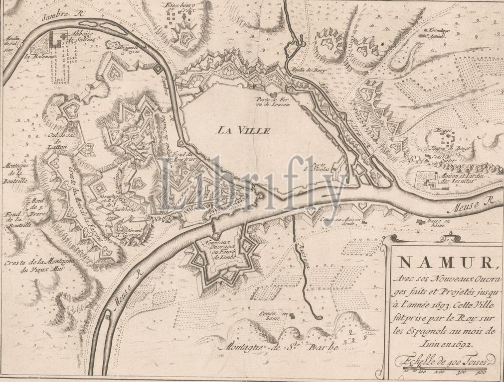
Fortress map of Namur, Namur, with new ouvrages faits et jusqu á l'année (...) (title on object), Fortress map of Namur, conquered by the French from the Spaniards in 1692. Bottom right the title cartouche with a scale at the bottom : Echelle de 400 Toises., print maker: anonymous, publisher: Nicolas de Fer, publisher: George Gallet, (possibly), publisher: Paris, publisher: Amsterdam, publisher: Amsterdam, 1690 - c. 1700, paper, engraving, etching, height 225 mm × width 287 mm, print
Keywords:
Fortress map, Namur, new ouvrages faits, et, jusqu á l'année, title, object, conquered, French, Spaniards, 1692, Bottom right, title cartouche, scale, bottom, Echelle de 400 Toises, print maker, anonymous, publisher, Nicolas de Fer, George Gallet, Paris, Amsterdam, 1690 - c, 1700, paper, engraving, etching, height 225 mm ×, width, 287 mm, print
Image ID:
The watermark in the image will not appear on the final download.