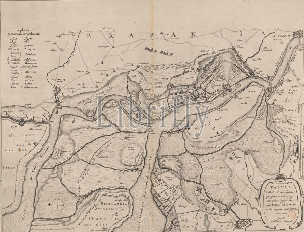
Forts on the Eastern and Western Scheldt, 1627, Tabula castelli ad Sandflitam, qua simul inundati agri, alluviones, fossae, alvei, quae Bergas ad Zomam et Antverpiam interjacent, annotantur (title on object), Map of forts on the Eastern and Western Scheldt and around Zandvliet, 1627. Perhaps in relation to the attack by Spinola on Zuid-Beveland, September 1627. Top left the translation of terms Dutch - Latin. Bottom right a cartouche with the title., print, print maker: anonymous, publisher: Willem Janszoon Blaeu, (mentioned on object), Amsterdam, 1629 - 1672, paper, etching, engraving, height, 385 mm × width, 501 mm
Keywords:
Forts, Eastern, Western Scheldt, 1627, Tabula castelli ad Sandflitam, qua simul inundati agri, alluviones, fossae, alvei, quae Bergas ad Zomam et Antverpiam interjacent, annotantur, title, object, Map, forts, Zandvliet, Perhaps, relation, attack, Spinola, Zuid-Beveland, September 1627, Top left, translation, terms, Dutch, - Latin, Bottom right, cartouche, print, print maker, anonymous, publisher, Willem Janszoon Blaeu, mentioned, Amsterdam, 1629 - 1672, paper, etching, engraving, height, 385 mm × width, 501 mm
Image ID:
The watermark in the image will not appear on the final download.