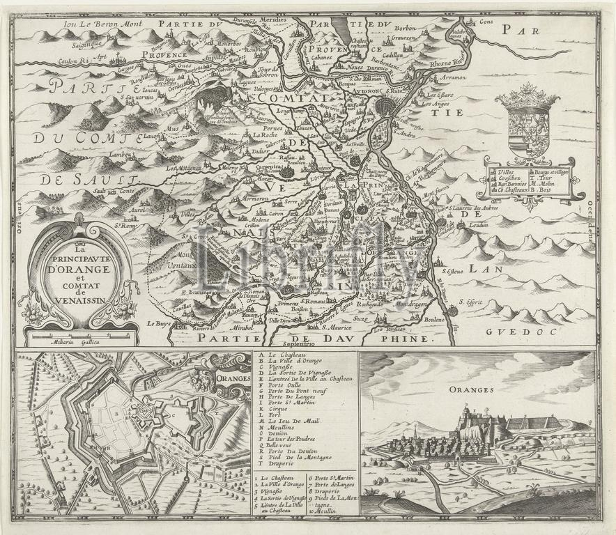
France, La Principaute d'Orange et Comtat de Venaissin, Map of the principality of Orange, 1639, Map of the principality of Orange. Below a map and a profile of the city of Orange. In the middle the legend AT and 1-10 in French., print, engraving, map, prints, engravings, Frederik Muller Historical plates, height 325 mm, width 378 mm, print maker, printmaker, 1637 - 1640, second quarter 17th century, paper, engraving (printing process)
Keywords:
France, La Principaute d'Orange et Comtat de Venaissin, Map, principality, Orange, 1639, map, profile, city, middle, legend, 1-10, French, print, engraving, prints, engravings, Frederik Muller Historical plates, height 325 mm, width 378 mm, print maker, printmaker, 1637 - 1640, second quarter 17th century, paper, printing process
Image ID:
The watermark in the image will not appear on the final download.