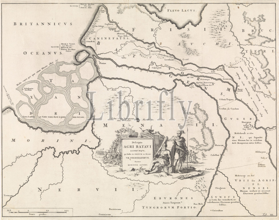
Historical map of the Netherlands with the territories of the Batavians and Frisians III Descriptio Agri Batavi (title on object), Map marked lower right: Tab. III, maps of separate countries or regions, Friesland, Netherlands, Jan Luyken, Amsterdam, 1697, paper, etching, h 343 mm × w 432 mm
Keywords:
Historical map, Netherlands, territories, Batavians, Frisians III Descriptio Agri Batavi, title, object, Map marked lower right, Tab, III, maps, separate countries, regions, Friesland, Jan Luyken, Amsterdam, 1697, paper, etching
Image ID:
The watermark in the image will not appear on the final download.