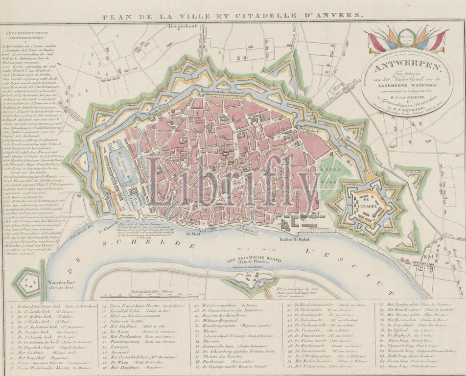
Map of Antwerp with the Citadel, 1831, Plan de la Ville et Citadelle d'Anvers (title on object), Map of the city of Antwerp, with the Citadel on the right, 1831. On the left a list of the most important events in the city, at the bottom the legend 1-65. Top right a cartouche with the inscription 'For the benefit of the Fatherland and the General Armament ...', and 'Chassé. Oct 27 1830.', print, print maker: Willem Cornelis van Baarsel, (mentioned on object), publisher: François Joseph Weygand, (mentioned on object), print maker: Netherlands, publisher: Amsterdam, 1831, paper, etching, engraving, height, 287 mm × width, 368 mm
Keywords:
Map, Antwerp, Citadel, 1831, Plan de la Ville et Citadelle d'Anvers, title, object, city, right, left, list, important events, bottom, legend 1-65, Top right, cartouche, inscription, benefit, Fatherland, General Armament, Chassé, Oct 27 1830, print, print maker, Willem Cornelis van Baarsel, mentioned, publisher, François Joseph Weygand, Netherlands, Amsterdam, paper, etching, engraving, height, 287 mm × width, 368 mm
Image ID:
The watermark in the image will not appear on the final download.