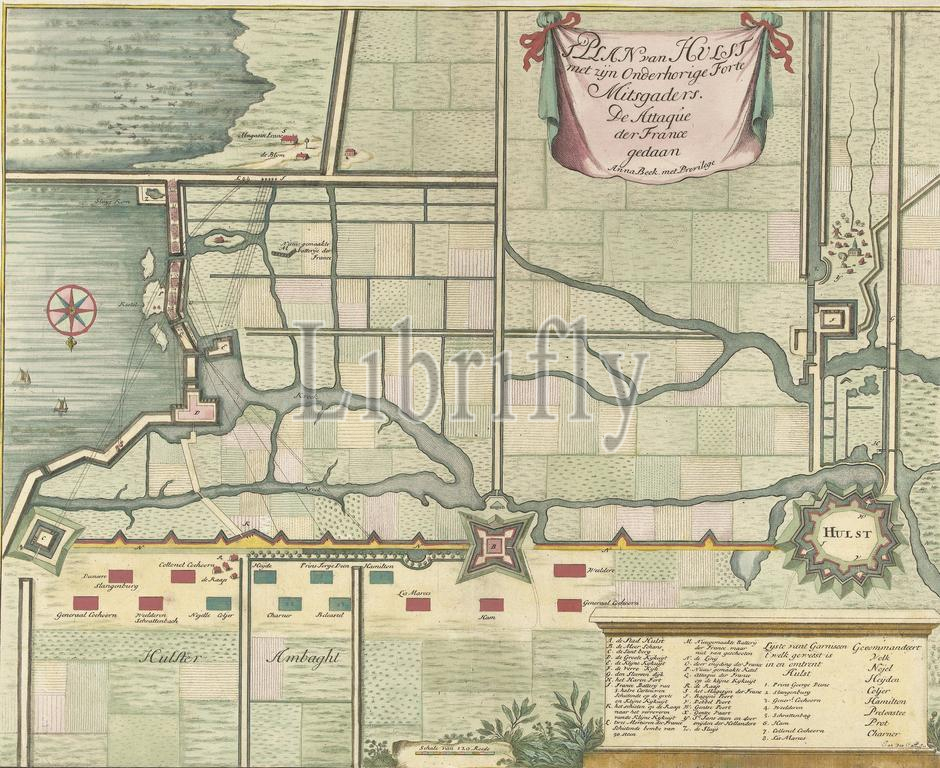
Map of the attack of the French on Hulst, 1702, t' Plan van Hulst with its dependent fort and fortress. The attaqúe der France done (title on object), Map of Hulst and surroundings with the attacks of the French on Hulst, August 30 to September 5, 1702. Top right a cartouche with title. Bottom right a legend A-Z and 1-8. Under a scale stick: Scale of 120 rods., print, print maker: Jan van Call (II), (mentioned on object), publisher: Anna Beeck, (mentioned on object), publisher: Carel Allard, (possibly), print maker: Northern Netherlands, publisher: The Hague, publisher: Amsterdam, 1702 - 1717, paper, etching, engraving, height, 386 mm × width, 476 mm
Keywords:
Map, attack, French, Hulst, 1702, t, Plan, van, dependent fort, fortress, attaqúe der France done, title, object, surroundings, attacks, August 30, September 5, Top right, cartouche, Bottom right, legend A-Z, 1-8, Under, scale stick, Scale, 120 rods, print, print maker, Jan, Call, Ii, mentioned, publisher, Anna Beeck, Carel Allard, Northern Netherlands, Hague, Amsterdam, 1702 - 1717, paper, etching, engraving, height, 386 mm × width, 476 mm
Image ID:
The watermark in the image will not appear on the final download.