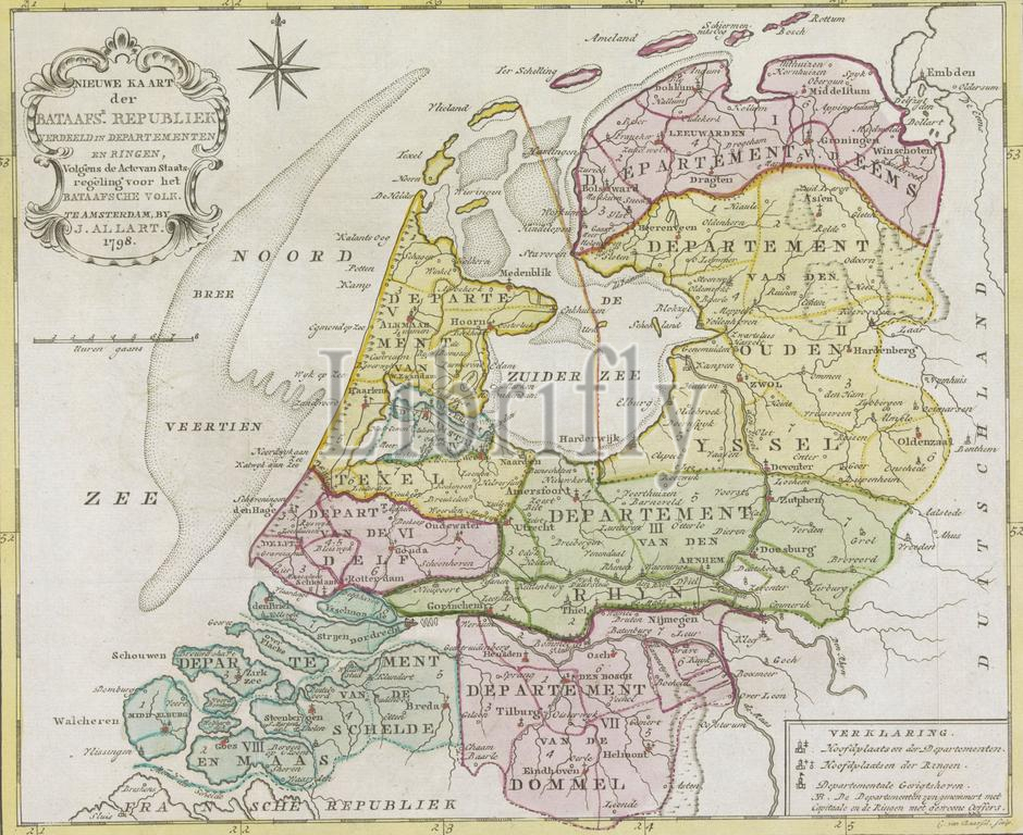
Map of the Batavian Republic, 1798, New Map of the Batavian Republic divided into departments and rings, according to the Act of Constitution for the Batavian People (title on object), New map of the Batavian Republic divided into 8 departments and within them into rings, 1798., print, print maker: Cornelis van Baarsel, (mentioned on object), publisher: Johannes Allart, (mentioned on object), print maker: Netherlands, publisher: Amsterdam, 1798, paper, etching, engraving, height, 267 mm × width, 330 mm
Keywords:
Map, Batavian Republic, 1798, New Map, Batavian Republic divided, departments, rings, according, Act, Constitution, Batavian People, title, object, New map, 8 departments, within them, print, print maker, Cornelis van Baarsel, mentioned, publisher, Johannes Allart, Netherlands, Amsterdam, paper, etching, engraving, height, 267 mm × width, 330 mm
Image ID:
The watermark in the image will not appear on the final download.