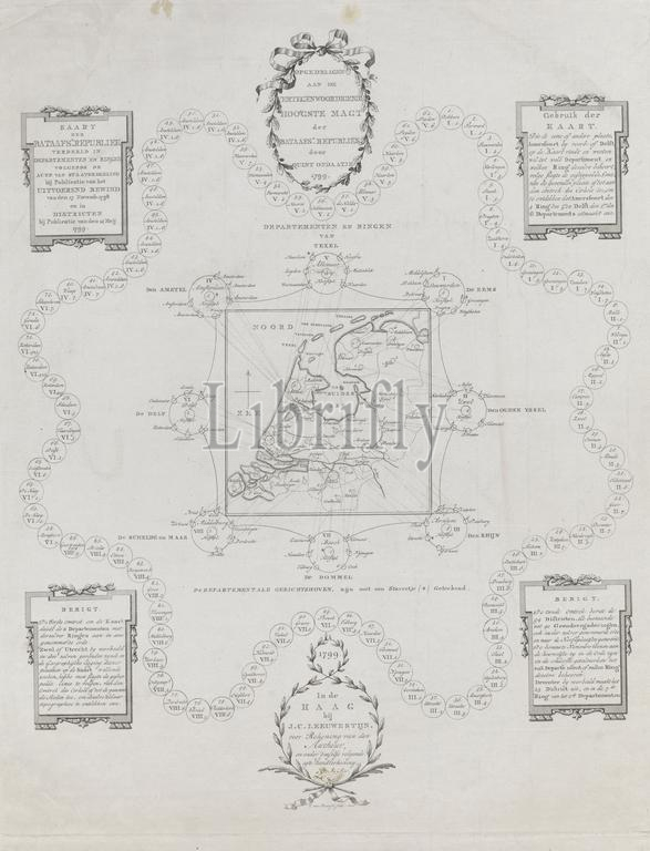
Map of the Batavian Republic, 1799, Map of the Batavian Republic. Republic divided into Departments and Rings (...) by Publication of 14 May 1799 (title on object), Map of the division of the Batavian Republic into departments and rings, according to the Act of Constitution by publication of the Executive Council of 17 November 1798, and in districts according to the publication of May 14, 1799. With cartouches with dedication, instructions for use and two messages. Signed by Ondaatje at the bottom at the address., print, print maker: Cornelis van Baarsel, (mentioned on object), Pieter Philip Juriaan Quint Ondaatje, (mentioned on object), Uitvoerend Bewind (14 augustus 1798-16 oktober 1801), (mentioned on object), print maker: Amsterdam, Netherlands, publisher: The Hague, 1799, paper, etching, engraving, height, 500 mm × width, 396 mm
Keywords:
Map, Batavian Republic, 1799, Republic divided, Departments, Rings, Publication, 14, title, object, division, departments, rings, according, Act, Constitution, publication, Executive Council, 17 November 1798, districts according, cartouches, dedication, instructions, two messages, Signed, Ondaatje, bottom, address, print, print maker, Cornelis van Baarsel, mentioned, Pieter Philip Juriaan Quint Ondaatje, Uitvoerend Bewind, 14 augustus 1798-16 oktober 1801, Amsterdam, Netherlands, publisher, Hague, paper, etching, engraving, height, 500 mm × width, 396 mm
Image ID:
The watermark in the image will not appear on the final download.