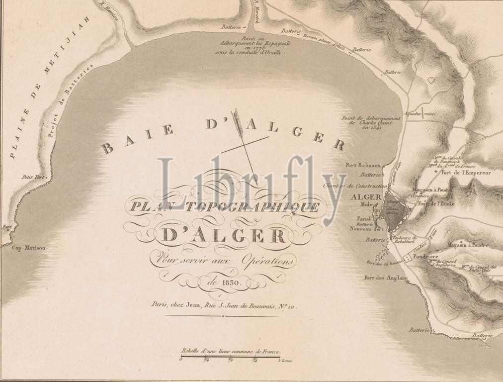
Map of the Bay of Algiers in preparation for the invasion of Algiers by the French in 1830, Plan Topographique d'Alger pour sevir aux Opérations de 1830 (title on object), print, print maker: anonymous, publisher: Auguste Jean (uitgever), (mentioned on object), Paris, 1830, paper, etching, engraving, height, 298 mm × width, 368 mm
Keywords:
Map, Bay, Algiers, preparation, invasion, French, 1830, Plan Topographique, d'Alger, pour sevir aux Opérations de 1830, title, object, print, print maker, anonymous, publisher, Auguste Jean, uitgever, mentioned, Paris, paper, etching, engraving, height, 298 mm × width, 368 mm
Image ID:
The watermark in the image will not appear on the final download.