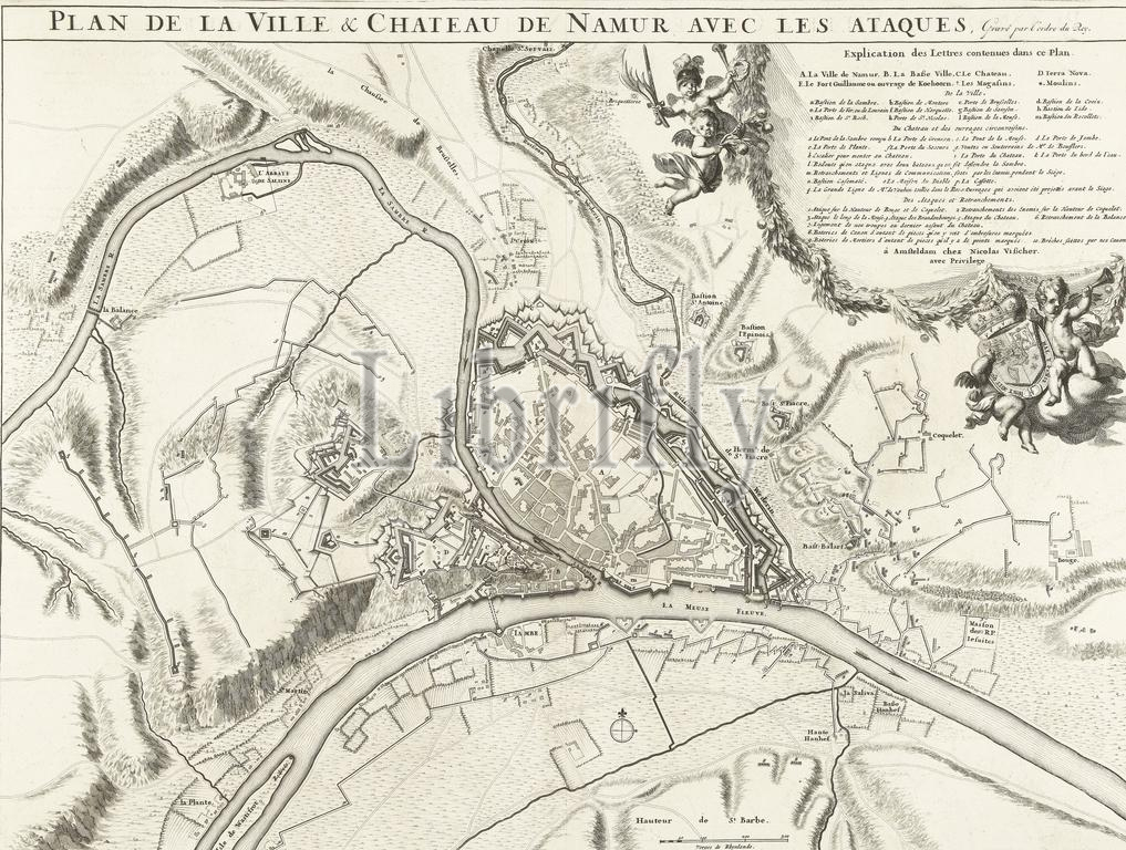
Map of the city of Namur with the castle, besieged by the French army, 1692, Plan de la ville & chateau de Namur avec les ataques (title on object), Map of the city of Namur with the castle, besieged by the French army, 25 May - June 30, 1692. Top right the legend A-E, a-r and 1-10 in French, with putti and the coat of arms of the King of France. Below, to the right of the centre, a scale: 300 Verges de Rhynlande., print, print maker: anonymous, after print by: anonymous, publisher: Nicolaes Visscher (II), (mentioned on object), after print by: France, publisher: Amsterdam, publisher: Amsterdam, 1692 - 1720, paper, etching, engraving, height, 432 mm × width, 580 mm
Keywords:
Map, city, Namur, castle, besieged, French army, 1692, Plan de la ville & chateau de Namur avec, les, ataques, title, object, 25, - June 30, Top right, legend A-E, a-r, 1-10, French, putti, coat, arms, King, France, right, centre, scale, 300 Verges de Rhynlande, print, print maker, anonymous, publisher, Nicolaes Visscher, Ii, mentioned, Amsterdam, 1692 - 1720, paper, etching, engraving, height, 432 mm × width, 580 mm
Image ID:
The watermark in the image will not appear on the final download.