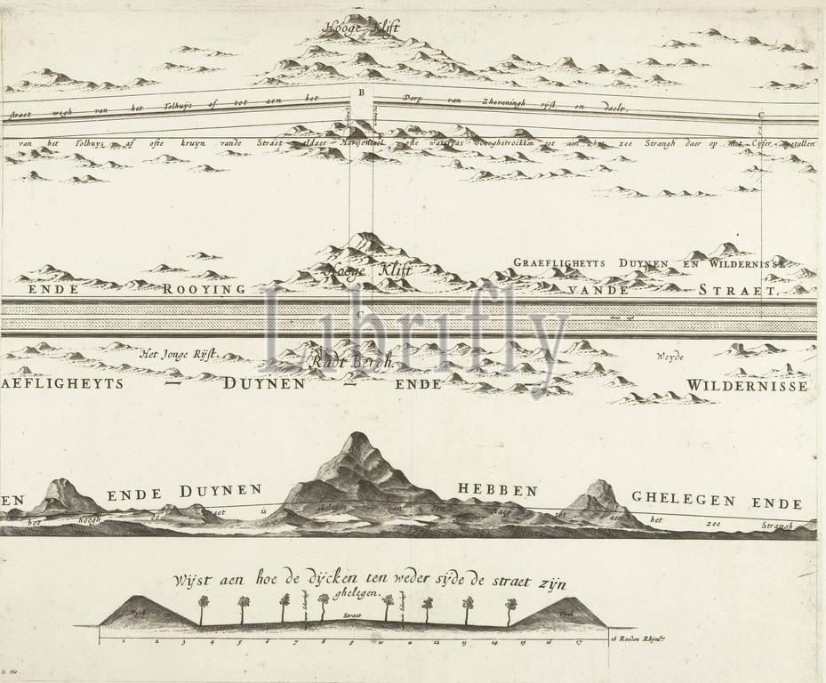
Map of the construction of the road from The Hague to Scheveningen, 1664-1665 (second page), Map of the road that was constructed from The Hage to the sea, Second page of a map of the construction of the road from The Hague through the dunes to the beach at Scheveningen, 1664-1665., print maker: Frederik de Wit, Johan van Swieten, Amsterdam, 1667 - 1713, paper, engraving, height 421 mm × width 513 mm, print
Keywords:
Map, construction, road, Hague, Scheveningen, 1664-1665, second page, constructed, Hage, sea, Second page, map, dunes, beach, print maker, Frederik de Wit, Johan van Swieten, Amsterdam, 1667 - 1713, paper, engraving, height 421 mm ×, width, 513 mm, print
Image ID:
The watermark in the image will not appear on the final download.