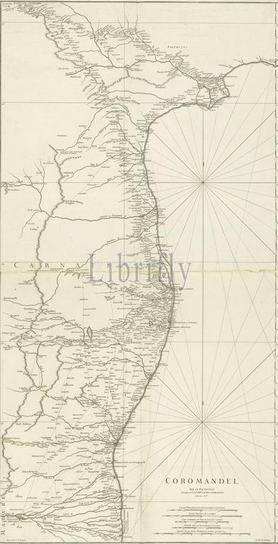
Map of Coromandel, Coromandel, par le Sr d'Anville (title on object), Map of the Coromandel coast from m.e. Nega-Patnam to r.b. Narsapur, l.l. scale in French miles, nautical miles, common Coss, major Coss and miles of Malabar. (Coss is an Indian measure of height)., print, Jean Baptiste Bourguignon d'Anville, (mentioned on object), print maker: Guillaume Nicolas Delahaye, (mentioned on object), publisher: Covens & Mortier, Paris, Jan-1753, paper, engraving, height, 960 mm × width, 500 mm
Keywords:
Map, Coromandel, par le Sr d'Anville, title, object, Coromandel coast, m.e, Nega-Patnam, r.b, Narsapur, l.l, scale, French miles, nautical miles, common Coss, major Coss, miles, Malabar, Coss, Indian measure, height, print, Jean Baptiste Bourguignon d'Anville, mentioned, print maker, Guillaume Nicolas Delahaye, publisher, Covens & Mortier, Paris, Jan-1753, paper, engraving, 960 mm × width, 500 mm
Image ID:
The watermark in the image will not appear on the final download.