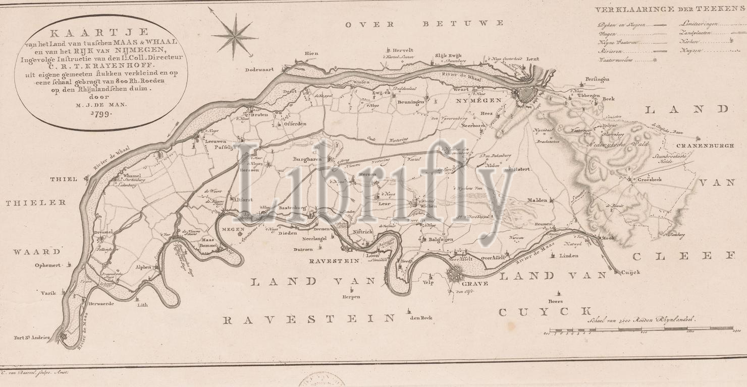
Map of the country between the Maas and the Waal, Map of the country between the Maas and Whaal and of the Kingdom of Nijmegen (...), This map provides a model for taste and engraving, according to which the new map (.. .), top left the title cartouche. Above the map a second title. Top right a legend. Bottom right a scale stick: Scale of 3200 Roeden Rhynlandsch., print, print maker: Cornelis van Baarsel, (mentioned on object), M.J. de Man, (mentioned on object), Cornelis Rudolphus Theodorus Krayenhoff, (mentioned on object), 1799, paper, etching, engraving, height, 230 mm × width, 448 mm
Keywords:
Map, country, Maas, Waal, Whaal, Kingdom, Nijmegen, map provides, model, taste, engraving, according, new map, top left, title cartouche, map, second title, Top right, legend, Bottom right, scale stick, Scale, 3200 Roeden Rhynlandsch, print, print maker, Cornelis van Baarsel, mentioned, object, M.J, de Man, Cornelis Rudolphus Theodorus Krayenhoff, 1799, paper, etching, height, 230 mm × width, 448 mm
Image ID:
The watermark in the image will not appear on the final download.