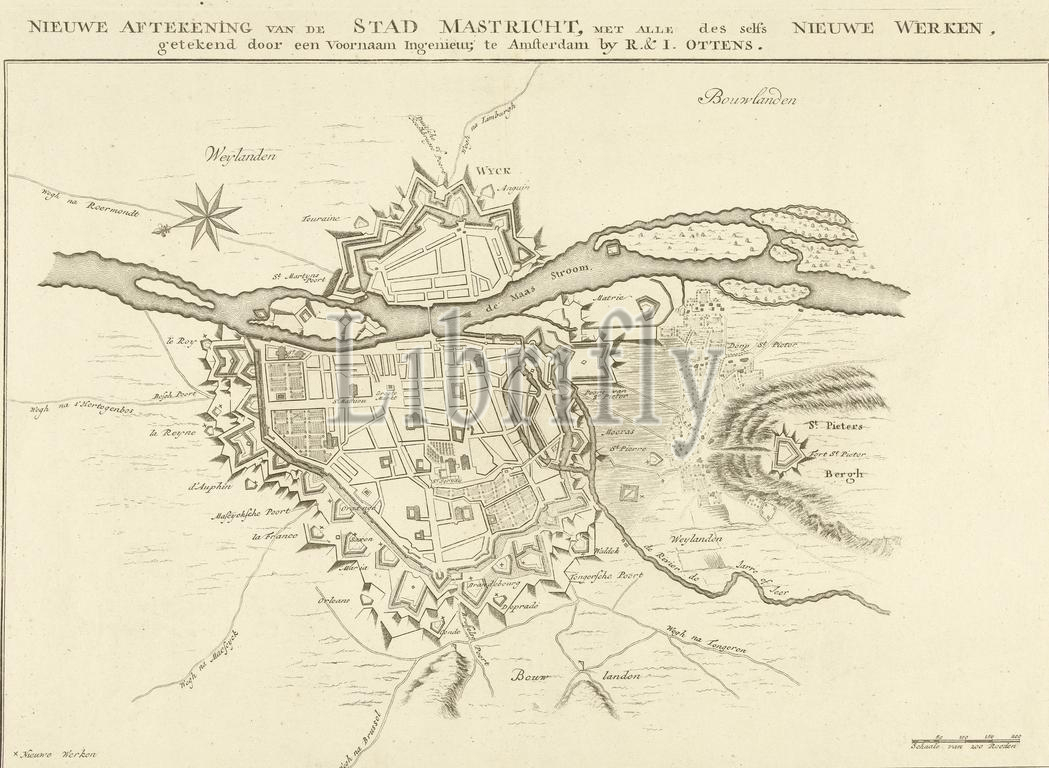
Map of the defense works around the city of Maastricht, 1748, New outline of the city of Mastricht, with all its own new works, drawn by a distinguished engineer (title on object), Plan of the defense works around the city of Maastricht, at the time of the siege of the city by the French under Maurice of Saxony and Lowendal from April 15 and captured on May 7, 1748. Bottom right a scale: Scale of 200 Roeden., print, print maker: anonymous, unknown, (mentioned on object), publisher: Reinier Ottens (I) & Josua, (mentioned on object), Amsterdam, 1748 - 1765, paper, etching, engraving, height, 344 mm × width, 482 mm
Keywords:
Map, defense works, city, Maastricht, 1748, New outline, Mastricht, own new works, drawn, distinguished engineer, title, object, Plan, time, siege, French under Maurice, Saxony, Lowendal, April 15, captured, 7, Bottom right, scale, Scale, 200 Roeden, print, print maker, anonymous, unknown, mentioned, publisher, Reinier Ottens, I, & Josua, Amsterdam, 1748 - 1765, paper, etching, engraving, height, 344 mm × width, 482 mm
Image ID:
The watermark in the image will not appear on the final download.