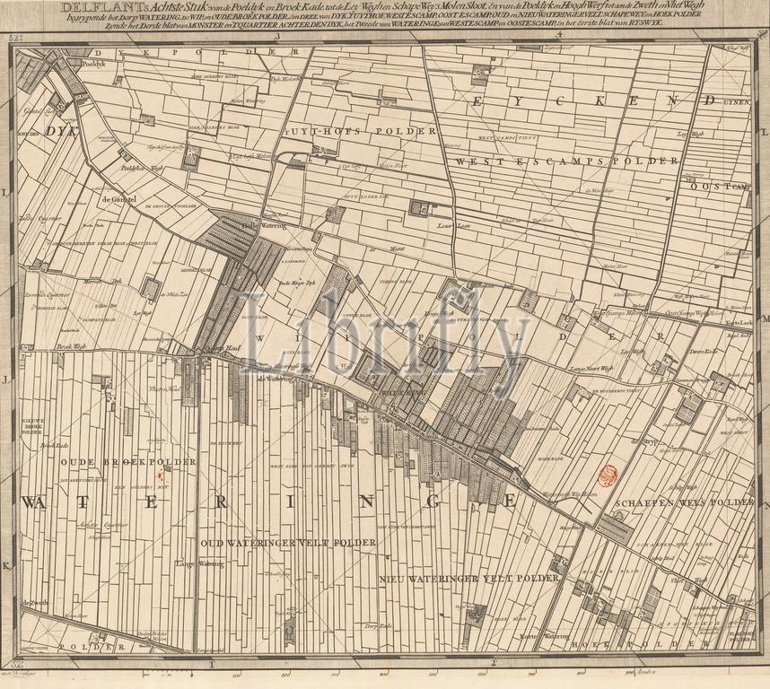
Map of the Delfland Water Board (eighth part), T Hooge Heemraedschap of Delflant with all the cities, villages, crafts, fields, polders, blocks, hamlets, neighborhoods, homesteads, houses, orchards, tuynen, fields, sluyzen, waterways, vlieten, beaches , dunes, dycken roads, quays, mills, bridges, lakes, dobbens, waterings, etc. located there, mapped on foot, ao: MDCCXII, 'T Hooge Heemraedschap van Delflant, Eighth part of a map of the Delfland Water Board consisting of twenty-five to share., print maker: Luggert van Anse, print maker: Thomas Doesburgh, print maker: Jacobus Deur, Delft, 1712 - 1735, paper, engraving, etching, height 520 mm × width 591 mm, print
Keywords:
Map, Delfland Water Board, eighth part, T Hooge Heemraedschap, Delflant, cities, villages, crafts, fields, polders, blocks, hamlets, neighborhoods, homesteads, houses, orchards, tuynen, sluyzen, waterways, vlieten, beaches, dunes, dycken roads, quays, mills, bridges, lakes, dobbens, waterings, etc, located, mapped, foot, ao, Mdccxii, T Hooge Heemraedschap van Delflant, Eighth part, map, Delfland Water Board consisting, twenty-five, share, print maker, Luggert van Anse, Thomas Doesburgh, Jacobus Deur, Delft, 1712 - 1735, paper, engraving, etching, height 520 mm ×, width, 591 mm, print
Image ID:
The watermark in the image will not appear on the final download.