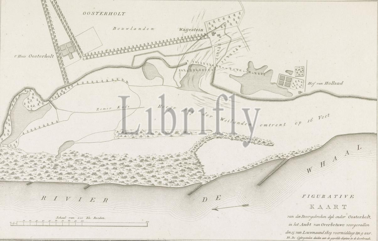
Map of the dike breach under Oosterhout, 1809, Figurative Map of the breached dike under Oosterholt, which occurred in the Ambt van Overbetuwe on the 15 of Louwmonth 1809 (...) (title on object), Map of the breach of the dike along the Waal near Oosterhout in Gelderland, January 15, 1809., print, print maker: anonymous, Netherlands, 1809, paper, etching, engraving, height, 277 mm × width, 415 mm
Keywords:
Map, dike breach under Oosterhout, 1809, Figurative Map, breached dike under Oosterholt, occurred, Ambt van Overbetuwe, 15, Louwmonth 1809, title, object, breach, dike, Waal near Oosterhout, Gelderland, January 15, print, print maker, anonymous, Netherlands, paper, etching, engraving, height, 277 mm × width, 415 mm
Image ID:
The watermark in the image will not appear on the final download.