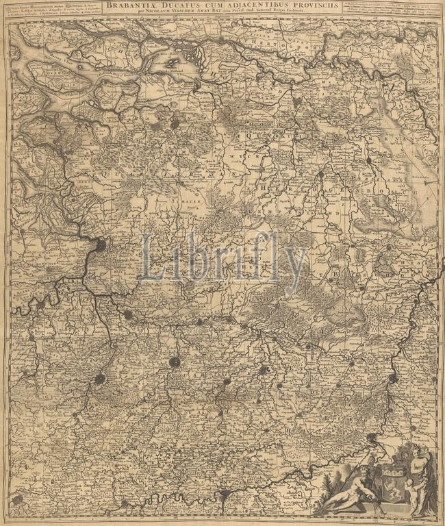
Map of the Duchy of Brabant, Brabantiae ducatus cum adjacentibus provinciis (title on object), Map of the Duchy of Brabant. In a bar above the card, in the middle, the title. To the left is a legend. To the right of the title two scale sticks: 4 1/2 Common Duytsche Miles of 15 in a degree, 6 French Mylen or Hours Gaans of 20 in a degree. Bottom right the coat of arms of the Duchy of Brabant. The map has a search grid and a degree distribution., print, print maker: Gilliam van der Gouwen, (mentioned on object), publisher: Nicolaes Visscher (I), (mentioned on object), publisher: Nicolaes Visscher (II), (mentioned on object), Amsterdam, 1677 - 1720, silk, etching, engraving, height, 642 mm × width, 532 mm
Keywords:
Map, Duchy, Brabant, Brabantiae ducatus cum adjacentibus provinciis, title, object, bar, card, middle, left, legend, right, title two scale sticks, 1 Common Duytsche Miles, 15, degree, 6 French Mylen, Hours Gaans, 20, Bottom right, coat, arms, map, search grid, degree distribution, print, print maker, Gilliam van der Gouwen, mentioned, publisher, Nicolaes Visscher, I, Ii, Amsterdam, 1677 - 1720, silk, etching, engraving, height, 642 mm × width, 532 mm
Image ID:
The watermark in the image will not appear on the final download.