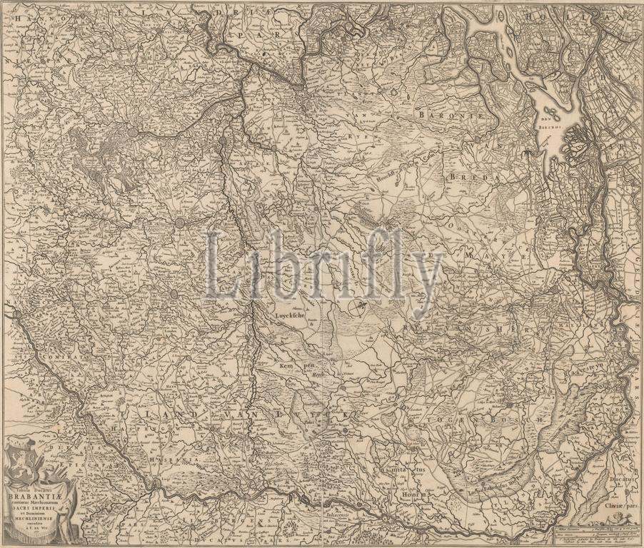
Map of the Duchy of Brabant, Tabula ducatus Brabantiae continens marchionatum sacri imperii et dominium Mechliniense (title on object), Map of Brabant. North top right, compass rose in the middle. Bottom left cartouche with title, coat of arms, weapons, draperies and putto. Bottom right scale in German miles and hourly 'measured 3 German Miles'., Frederik de Wit, publisher: Frederik de Wit, (mentioned on object), printer: Frederik de Wit, (mentioned on object), Amsterdam, 1666, paper, engraving, height, 49.5 cm × width, 54.7 cm
Keywords:
Map, Duchy, Brabant, Tabula ducatus Brabantiae, continens, marchionatum sacri imperii et dominium Mechliniense, title, object, North top right, compass rose, middle, Bottom, left, cartouche, coat, arms, weapons, draperies, putto, Bottom right scale, German miles, hourly, measured 3 German Miles, Frederik de Wit, publisher, mentioned, printer, Amsterdam, 1666, paper, engraving, height, 49.5 cm × width, 54.7 cm
Image ID:
The watermark in the image will not appear on the final download.