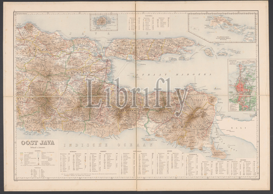
Map of East Java, Map of East Java with legend and inset maps from the area around Surabaya, the Kangean Islands and the island of Bawean. Numbered top left: 5. With degree distribution along the edges, maps of separate countries or regions, East Java, Bawean, Kangean Islands, Surabaya, Topografische Inrichting (mentioned on object), Java, 1906, paper, linen (material), h 655 mm × w 920 mm
Keywords:
Map, East Java, legend, inset maps, area, Surabaya, Kangean Islands, island, Bawean, Numbered top left, 5, degree distribution, edges, maps, separate countries, regions, Topografische Inrichting, mentioned, object, Java, 1906, paper, linen, material
Image ID:
The watermark in the image will not appear on the final download.