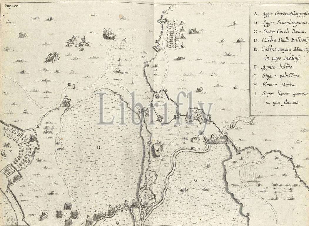
Map of the flooded area between the Spanish positions and Maurice's army camp, 1624-1625, Map of the flooded area between the Spanish positions and Maurits' army camp, during the siege of Breda by the Spanish army under Spinola, 1624-1625. Top right the legend A-I., print, print maker: anonymous, print maker: Theodoor Galle, (possibly), print maker: Boëtius Adamsz. Bolswert, (possibly), Southern Netherlands, 1625 - 1626, paper, engraving, height, 252 mm × width, 357 mm
Keywords:
Map, flooded area, Spanish positions, Maurice's, army, camp, 1624-1625, Maurits, army camp, siege, Breda, Spanish, under Spinola, Top right, legend A-I, print, print maker, anonymous, Theodoor Galle, Boëtius Adamsz, Bolswert, Southern Netherlands, 1625 - 1626, paper, engraving, height, 252 mm × width, 357 mm
Image ID:
The watermark in the image will not appear on the final download.