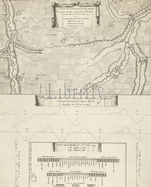
Map of the French line in Brabant, 1703, Plan de la situation du payx et lingne ennemis entre la rivire Mahangne et Geete fait le 28.me decembe. 1703, Proffiels du retrenchement qui marquent l'espasseur (...), Ordre de bataillie le 28me xber 1703 (title on object), Map of the French line in Brabant between the rivers Mehaigne and the Oude Gete, December 28, 1703. Below the map has two profiles, the first of the parapets and moats of the line and the second of the battle order of the Allies on December 28, 1703., print, print maker: anonymous, publisher: Anna Beeck, (mentioned on object), unknown, (mentioned on object), The Hague, 1703 - 1717, paper, etching, engraving, height, 468 mm × width, 381 mm
Keywords:
Map, French line, Brabant, 1703, Plan de la situation du payx et lingne ennemis entre la rivire M, fait, le 28.me decembe, Proffiels du retrenchement qui marquent l'espasseur, Ordre de bataillie, le, 28me xber 1703, title, object, rivers Mehaigne, Oude Gete, December 28, map, two profiles, first, parapets, moats, line, second, battle order, Allies, print, print maker, anonymous, publisher, Anna Beeck, mentioned, unknown, Hague, 1703 - 1717, paper, etching, engraving, height, 468 mm × width, 381 mm
Image ID:
The watermark in the image will not appear on the final download.