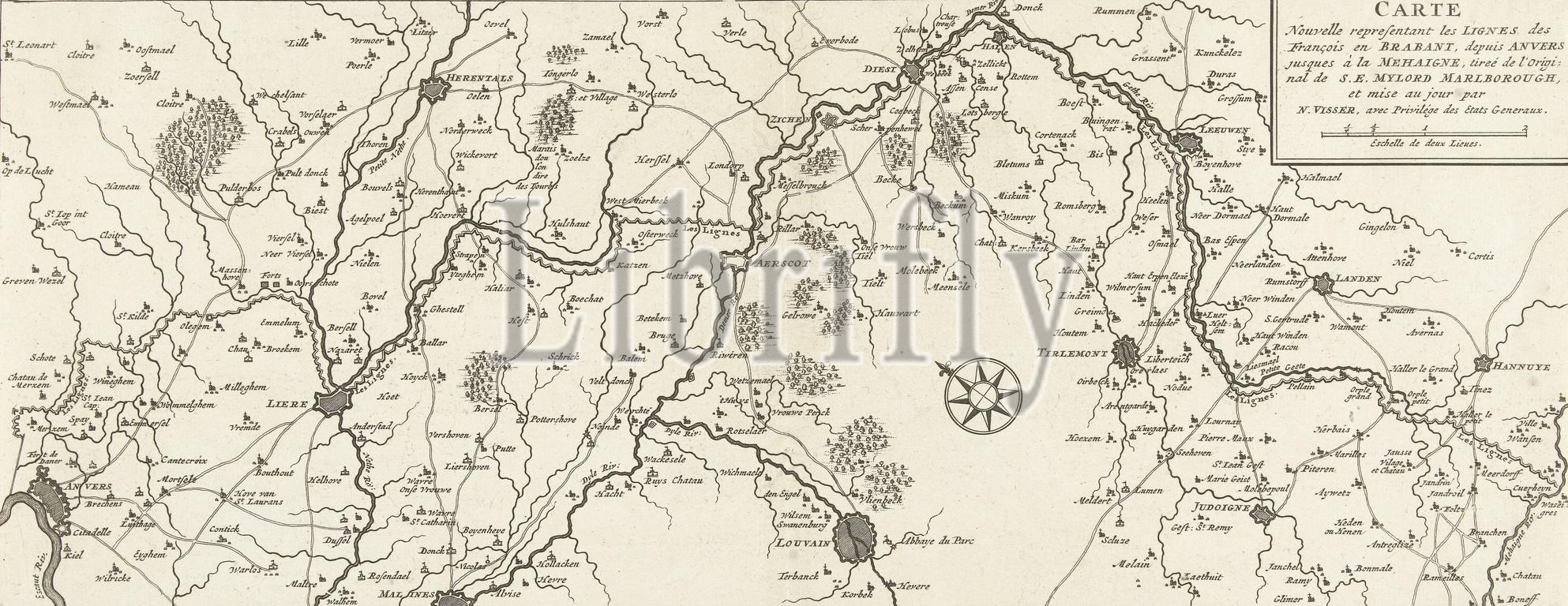
Map of the French lines in Brabant, ca. 1705, Carte nouvelle representant les lignes des François en Brabant, depuis Anvers jusques à la Mehaigne (...) (title on object), Map of the French lines in Brabant, stretching from Antwerp to the river Mehaigne, ca. 1705. Top right the title cartouche with scale stick: Eschelle de deux Lieues. According to the title, after an original owned by the Duke of Marlborough., print, print maker: anonymous, publisher: Nicolaes Visscher (II), (rejected attribution), publisher: weduwe Nicolaes Visscher (II), Amsterdam, 1705 - 1720, paper, etching, engraving, height, 174 mm × width, 439 mm
Keywords:
Map, French lines, Brabant, ca, 1705, Carte nouvelle representant, les, lignes des François en Brabant, depuis Anvers jusques à la Mehaigne, title, object, stretching, Antwerp, river Mehaigne, Top right, title cartouche, scale stick, Eschelle de deux Lieues, According, original owned, Duke, Marlborough, print, print maker, anonymous, publisher, Nicolaes Visscher, Ii, rejected attribution, weduwe Nicolaes Visscher, Amsterdam, 1705 - 1720, paper, etching, engraving, height, 174 mm × width, 439 mm
Image ID:
The watermark in the image will not appear on the final download.