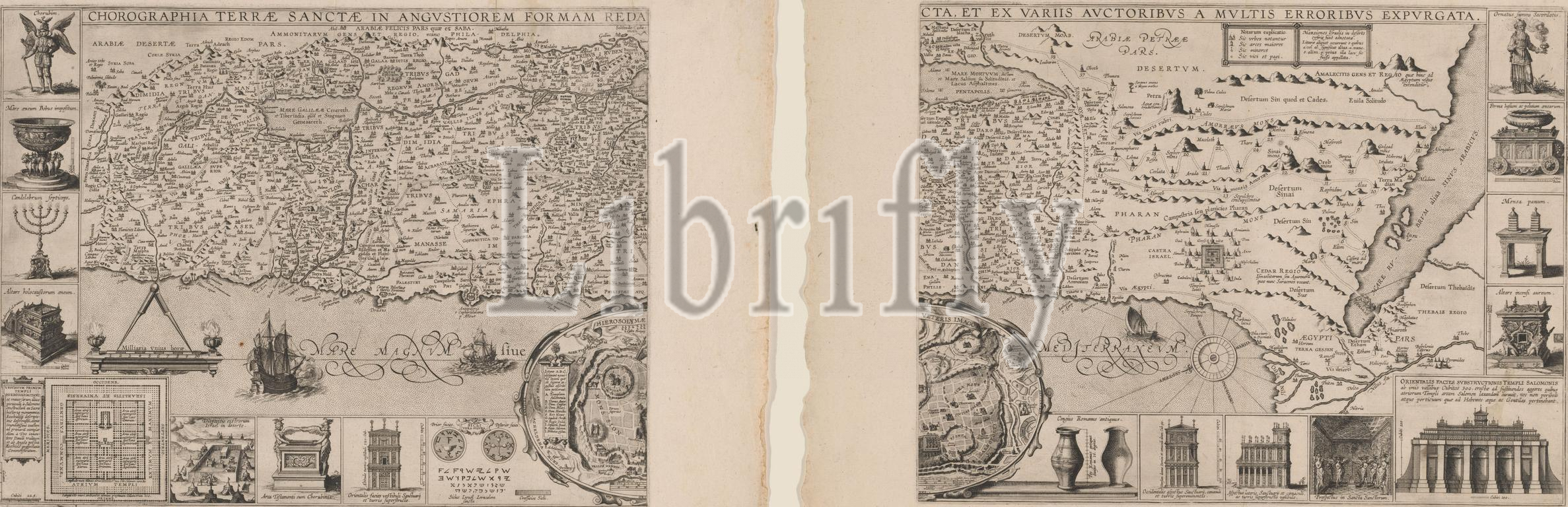
Map of the Holy Land, consisting of two parts, Chorographia Terrae Sanctae in angustiorem formam redacta, et ex variis auctoribus (...) (title on object), Map of the Holy Land. The map shows the exodus from Egypt, as well as various Biblical places and cities. Below, in the middle, an inset with a map of Jerusalem, showing the most important temples and buildings. Furthermore, various Biblical objects, views of temples and other religious scenes can be seen around the map., print maker: Cornelis Galle (I), (possibly), publisher: Martinus Nutius (III), (possibly), Antwerp, in or after 1632, paper, etching, engraving, height c. 646 mm × width c. 844 mm, print
Keywords:
Map, Holy Land, consisting, two parts, Chorographia Terrae Sanctae, angustiorem formam redacta, et ex variis auctoribus, title, object, map, exodus, Egypt, well, various Biblical places, cities, middle, inset, Jerusalem, showing, important temples, buildings, Furthermore, various Biblical objects, views, temples, religious scenes, print maker, Cornelis Galle, I, publisher, Martinus Nutius, Iii, Antwerp, 1632, paper, etching, engraving, height c, 646 mm × width c, 844 mm, print
Image ID:
The watermark in the image will not appear on the final download.