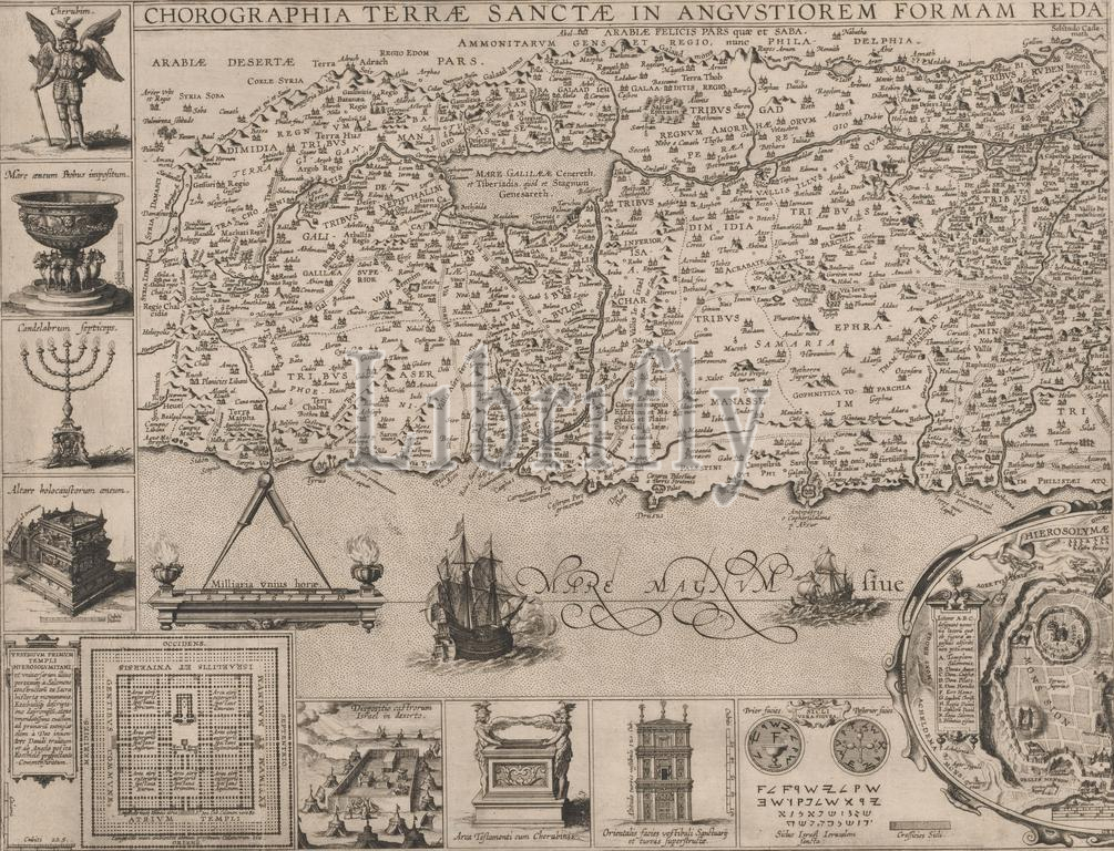
Map of the Holy Land, left part, Chorographia Terrae Sanctae in angustiorem formam redacta, et ex variis auctoribus (...) (title on object), Left part of a map of the Holy Land., print maker: Cornelis Galle (I), (possibly), publisher: Martinus Nutius (III), (possibly), Antwerp, in or after 1632, paper, etching, engraving, height 323 mm × width 422 mm, print
Keywords:
Map, Holy Land, left part, Chorographia Terrae Sanctae, angustiorem formam redacta, et ex variis auctoribus, title, object, Left part, map, print maker, Cornelis Galle, I, publisher, Martinus Nutius, Iii, Antwerp, 1632, paper, etching, engraving, height 323 mm ×, width, 422 mm, print
Image ID:
The watermark in the image will not appear on the final download.