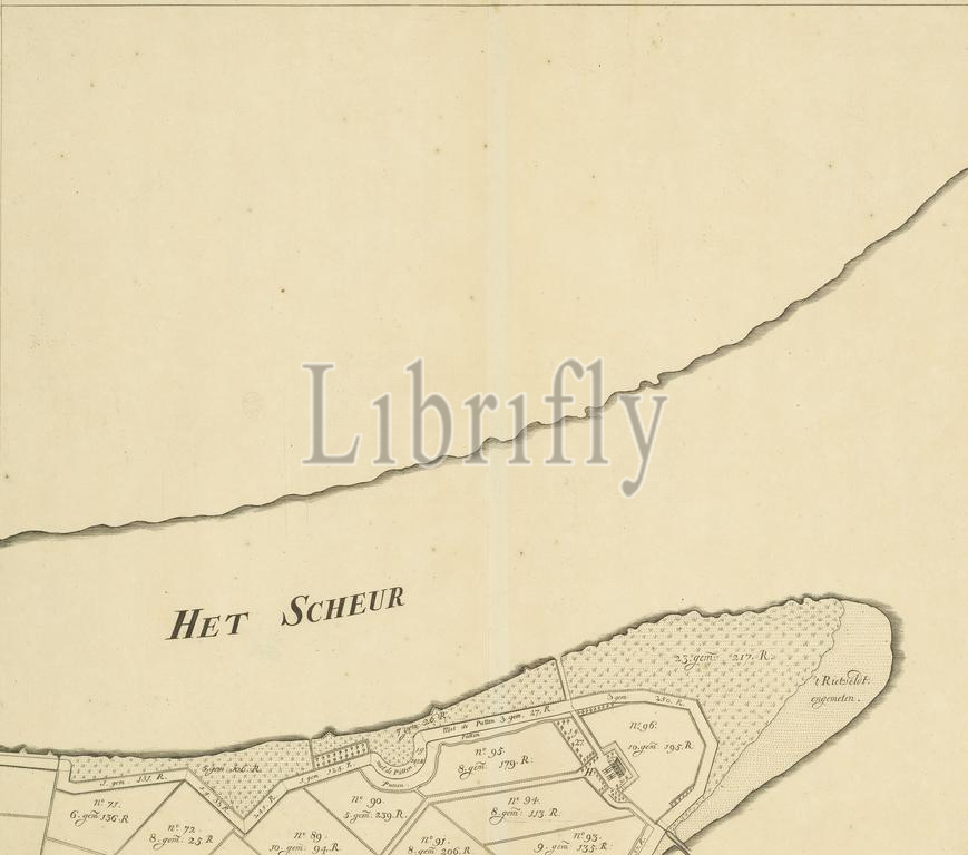
Map of the island of Rozenburg (fourth part from top), Maps and meetings ... of the islands of Oudt and Nieuw Roosenburg, Blankenburg, Ruijge, and Lange Plaat, located in the Maase region, between the land of Holland and the land of Voorne and Putten ..., Part (fourth from top) of a map of the island of Rozenburg, consisting of eight parts., print, print maker: anonymous, Willem van Swieten, Johannes Sandifoort, The Hague, 1727, paper, engraving, etching, height, 496 mm × width, 567 mm
Keywords:
Map, island, Rozenburg, fourth part, top, Maps, meetings, islands, Oudt, Nieuw Roosenburg, Blankenburg, Ruijge, Lange Plaat, located, Maase region, land, Holland, Voorne, Putten, Part, fourth, map, consisting, eight parts, print, print maker, anonymous, Willem van Swieten, Johannes Sandifoort, Hague, 1727, paper, engraving, etching, height, 496 mm × width, 567 mm
Image ID:
The watermark in the image will not appear on the final download.