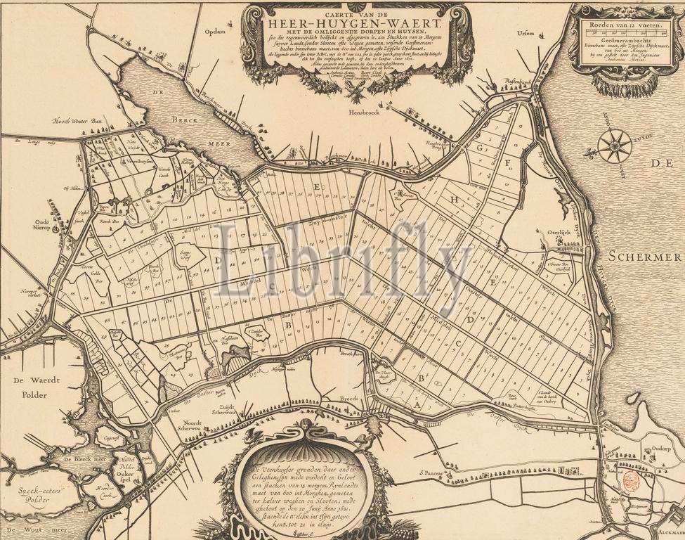
Map of the lot lots in the Heerhugowaard, 1631, Caerte van de Heer-Huygen-waert, with the surrounding villages and houses, including those that are nowadays bedijckt and excavated (...) (title on object), Map of the lot numbered lots in the Heerhugowaard, June 20, 1631. The title cartouche at the top center. Top right a scale: Rods of 12 feet, Geesterambachts binnebans maet, or Zijpsche dikkmaat, of 600 int morgen, with a frame by the engineer Anthonius Metius. At the bottom a cartouche with text about the Veenhuys grounds., print maker: anonymous, print maker: Claes Jansz. Visscher (II), (rejected attribution), after print by: Claes Jansz. Visscher (II), print maker: Northern Netherlands, print maker: Amsterdam, after print by: Amsterdam, in or after 20-Jun-1631, paper, etching, engraving, height 444 mm × width 565 mm, print
Keywords:
Map, lot lots, Heerhugowaard, 1631, Caerte van de Heer-Huygen-waert, surrounding villages, houses, nowadays bedijckt, excavated, title, object, lot, numbered, lots, June 20, title cartouche, top center, Top right, scale, Rods, 12 feet, Geesterambachts binnebans maet, Zijpsche dikkmaat, 600 int morgen, frame, engineer Anthonius Metius, bottom, cartouche, text, Veenhuys grounds, print maker, anonymous, Claes Jansz, Visscher, Ii, rejected attribution, print, Northern Netherlands, Amsterdam, 20-Jun-1631, paper, etching, engraving, height 444 mm ×, width, 565 mm, print
Image ID:
The watermark in the image will not appear on the final download.