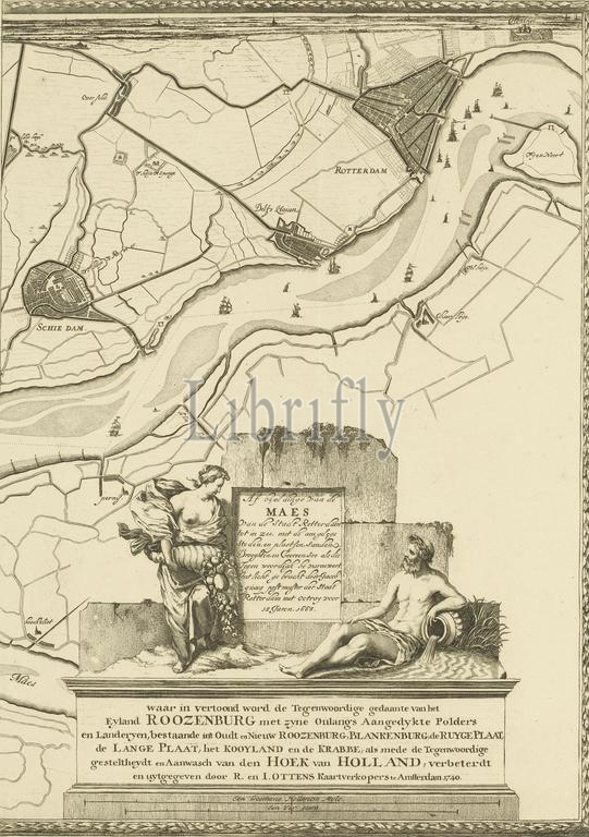
Map of the Maas from Rotterdam to the North Sea (fourth part), Depiction of the Maes from the city of Rotterdam to the sea, with the nearby cities, and places, sands, drylands, and courses, as well as it is currently navigated (title on object), Fourth part of a map of the Meuse from Rotterdam to the North Sea., print maker: Joost van Geel, after own design by: Joost van Geel, publisher: Reinier Ottens (I) & Josua, print maker: Rotterdam, publisher: Amsterdam, publisher: Rotterdam, Rotterdam, 1666 and/or 1740, paper, etching, engraving, height 500 mm × width 360 mm, print
Keywords:
Map, Maas, Rotterdam, North Sea, fourth part, Depiction, Maes, city, sea, nearby cities, places, sands, drylands, courses, well, currently navigated, title, object, Fourth part, map, Meuse, print maker, Joost van Geel, own design, publisher, Reinier Ottens, I, & Josua, Amsterdam, 1666, 1740, paper, etching, engraving, height 500 mm ×, width, 360 mm, print
Image ID:
The watermark in the image will not appear on the final download.