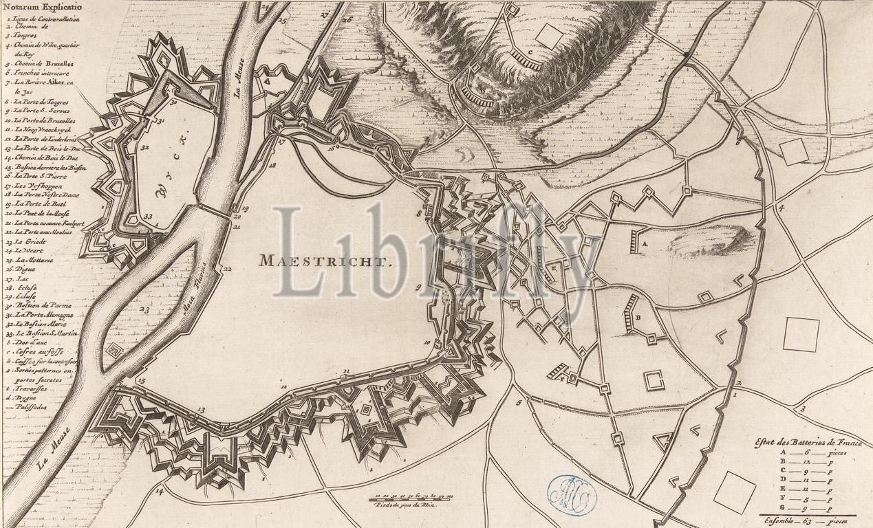
Map of Maastricht, 1678, Map of Maastricht, with the fortifications as they were when the city was returned by the French at the Peace of Nijmegen in 1678. With the legend 1-33 in French on the left. Below, in the middle, a scale: 100 Pieds du pais du Rhin., print maker: anonymous, France, (possibly), 1678 - 1699, paper, etching, engraving, height 179 mm × width 290 mm, print
Keywords:
Map, Maastricht, 1678, fortifications, city, returned, French, Peace, Nijmegen, legend 1-33, left, middle, scale, 100 Pieds du pais du Rhin, print maker, anonymous, France, 1678 - 1699, paper, etching, engraving, height 179 mm ×, width, 290 mm, print
Image ID:
The watermark in the image will not appear on the final download.