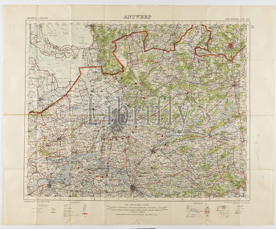
Map - Military, Belgium, Antwerp 3, Scale 1:100,000, 1912, Military map, Belgium, Antwerp, 3 scale 1:100,000. Labelled 'Georgaphical Section General Staff no. 2364', the map was photo-etched at the Ordnance Survey Office, Southampton, England, in 1911, and was drawn and printed at the War Office in 1912. The map was used by Captain Morris Lewis during World War I. Captain Lewis, 44th Battalion, Third Division, First AIF, was born in Wales in 1892 of
Keywords:
Map, Military, Belgium, Antwerp 3, Scale 1, 100, 000, 1912, Military map, Antwerp, 3 scale 1, Labelled, Georgaphical Section General Staff no, 2364, map, photo-etched, Ordnance Survey Office, Southampton, England, 1911, drawn, printed, War Office, Captain Morris Lewis, World War I, Captain Lewis, 44th Battalion, Third Division, First AIF, born, Wales, 1892
Image ID:
The watermark in the image will not appear on the final download.