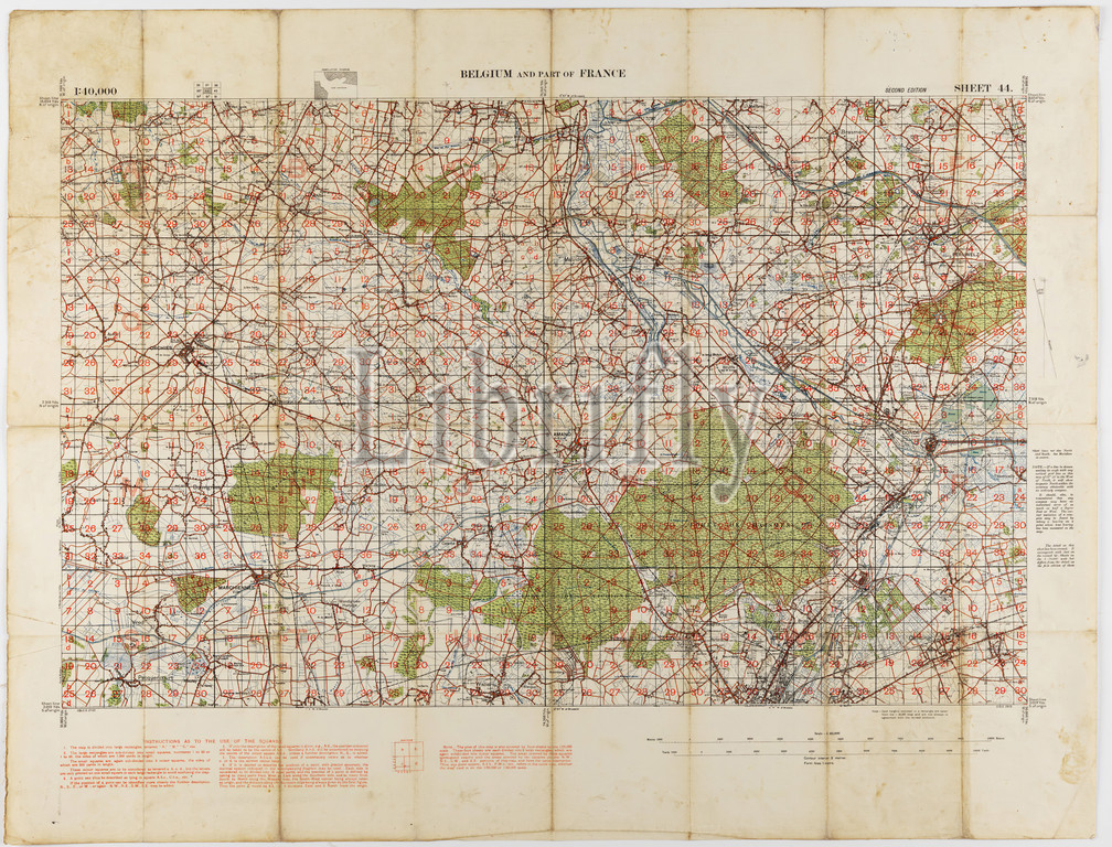
Map - Military, Belgium & France, Sheet 44, Scale 1:40,000, Edition 3, 1915, World War I map of Belgium and France, sheet 44, edition 3, 1:40,000. It was printed by (or for) the Ordnance Survey Office, and is dated 1915.
Keywords:
Map, Military, Belgium & France, Sheet 44, Scale 1, 40, 000, Edition 3, 1915, World War I map, Belgium, France, sheet 44, edition 3, 1, printed, Ordnance Survey Office, dated 1915
Image ID:
The watermark in the image will not appear on the final download.