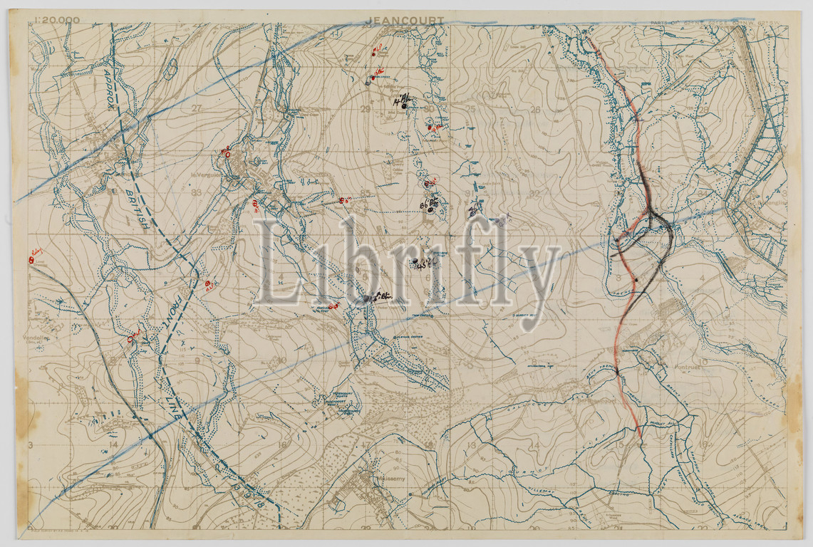
Map - Military, Trench, France, Jeancourt Sector, Scale 1:20,000, With Trace Overlay, World War I, 14 Sep 1918, Trench map of Jeancourt Sector with trace overlay, scale 1:20,000, made and used during World War I. It is dated 14 September 1918, and is inscribed 'Field Survey Battalion RE, 4340. Places on the map include Jeancourt, le Verguier, Pontruet and Berthaucourt. The map is printed with trench locations; battalion locations have been marked by hand. Accompanying the map is an identification trace
Keywords:
Map, Military, Trench, France, Jeancourt Sector, Scale 1, 20, 000, Trace Overlay, World War I, 14 Sep 1918, Trench map, trace overlay, scale 1, dated 14 September 1918, inscribed, Field Survey Battalion RE, 4340, Places, map include Jeancourt, le Verguier, Pontruet, Berthaucourt, map, printed, trench locations, battalion locations, marked, hand, Accompanying, identification trace
Image ID:
The watermark in the image will not appear on the final download.