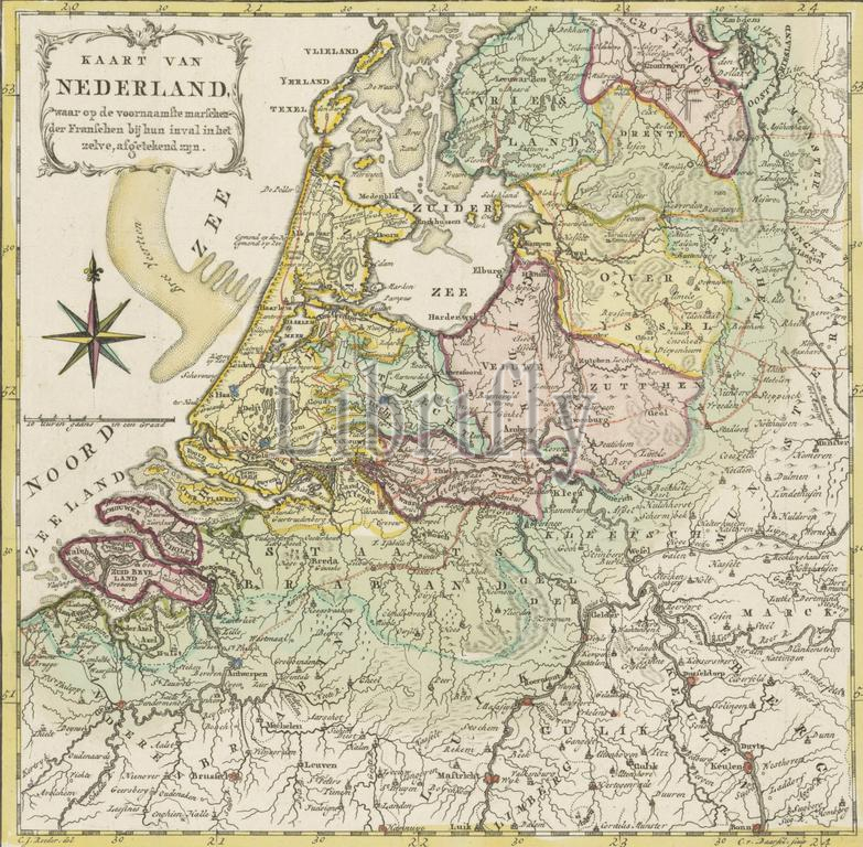
Map of the Netherlands with the march routes of the French army, 1792, Map of the Netherlands, showing the main marches of the French during their invasion (title on object), Map of the Republic with the march routes of the French army at the time of the First Coalition War, 1792., print, print maker: Cornelis van Baarsel, (mentioned on object), J.C. Roeder, (mentioned on object), Northern Netherlands, 1792, paper, etching, engraving, height, 265 mm × width, 275 mm
Keywords:
Map, Netherlands, march routes, French army, 1792, showing, main marches, French, invasion, title, object, Republic, time, First Coalition War, print, print maker, Cornelis van Baarsel, mentioned, J.C, Roeder, Northern Netherlands, paper, etching, engraving, height, 265 mm × width, 275 mm
Image ID:
The watermark in the image will not appear on the final download.