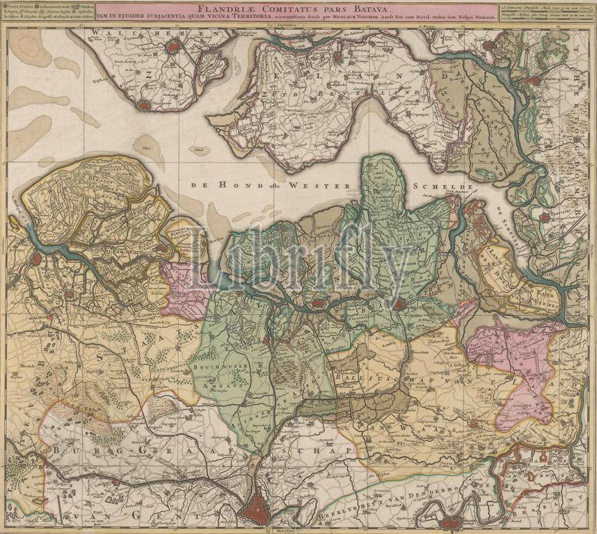
Map of North Flanders, Flandriae comitatus pars Batava tam in ejusdem subjacentia quam vicina territories (title on object), Map of North Flanders and part of Zeeland. Top left next to the title the legend, top right the scale in German and French miles., Nicolaes Visscher (I), publisher: Nicolaes Visscher (I), (mentioned on object), Staten-Generaal, (mentioned on object), Amsterdam, c. 1695, paper, engraving, height, 48.9 cm × width, 54.6 cm
Keywords:
Map, North Flanders, Flandriae comitatus pars Batava tam, ejusdem subjacentia quam vicina territories, title, object, part, Zeeland, Top, left, next, legend, top right, scale, German, French miles, Nicolaes Visscher, I, publisher, mentioned, Staten-Generaal, Amsterdam, c, 1695, paper, engraving, height, 48.9 cm × width, 54.6 cm
Image ID:
The watermark in the image will not appear on the final download.