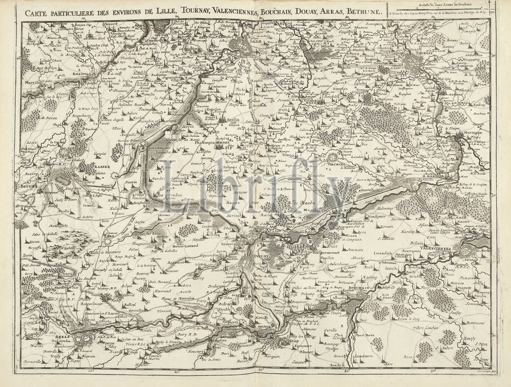
Map of Northern France, 1711, Carte particuliere des environs de Lille, Tournay, Valenciennes, Bouchain, Douay, Arras, Bethune (title on object), Map of Northern France with the towns of Lille, Tournai, Valenciennes, Bouchain, Douai, Arras and Béthune, 1711. Part of a bundled collection of plans of battles and cities renowned in the War of the Spanish Succession. This plate is among the first 24 plates that make up a very large map of the Southern Netherlands., print maker: Jacobus Harrewijn (mentioned on object), publisher: Eugene Henry Fricx (mentioned on object), Brussels, 1711, paper, etching, engraving, height 435 mm × width 555 mm
Keywords:
Map, Northern France, 1711, Carte particuliere des environs de Lille, Tournay, Valenciennes, Bouchain, Douay, Arras, Bethune, Map, Northern France, towns, Lille, Tournai, Valenciennes, Bouchain, Douai, Arras, Béthune, 1711, Part, bundled collection, plans, battles, cities renowned, War, Spanish Succession, plate, first 24 plates, up a, large map, Southern Netherlands, print maker, Jacobus Harrewijn, mentioned, publisher, Eugene Henry Fricx, mentioned, Brussels, 1711, paper, etching, engraving, height 435 mm, width 555 mm
Image ID:
The watermark in the image will not appear on the final download.