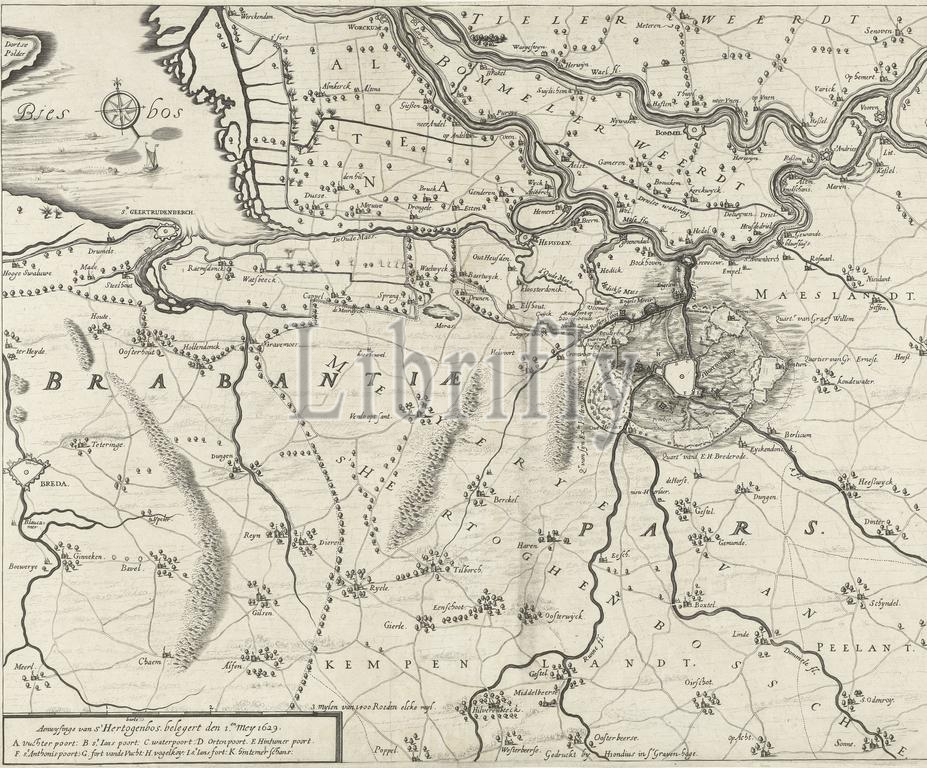
Map showing the siege of Den Bosch by Frederik Hendrik, 1629, Map showing the siege of Den Bosch by the Dutch army under Frederik Hendrik, from May 1 to September 17, 1629. Map of a large part of Brabant with the Bommeler and Tielerwaard and de Biesbos. Bottom left a cartouche with the legend A-K., print, print maker: Hendrick Hondius (I), (workshop of), publisher: Hendrick Hondius (I), (mentioned on object), The Hague, 1629, paper, engraving, height, 373 mm × width, 460 mm
Keywords:
Map showing, siege, Den Bosch, Frederik Hendrik, 1629, Dutch army under Frederik Hendrik, 1, September 17, Map, large part, Brabant, Bommeler, Tielerwaard, de Biesbos, Bottom left, cartouche, legend A-K, print, print maker, Hendrick Hondius, I, workshop of, publisher, mentioned, object, Hague, paper, engraving, height, 373 mm × width, 460 mm
Image ID:
The watermark in the image will not appear on the final download.