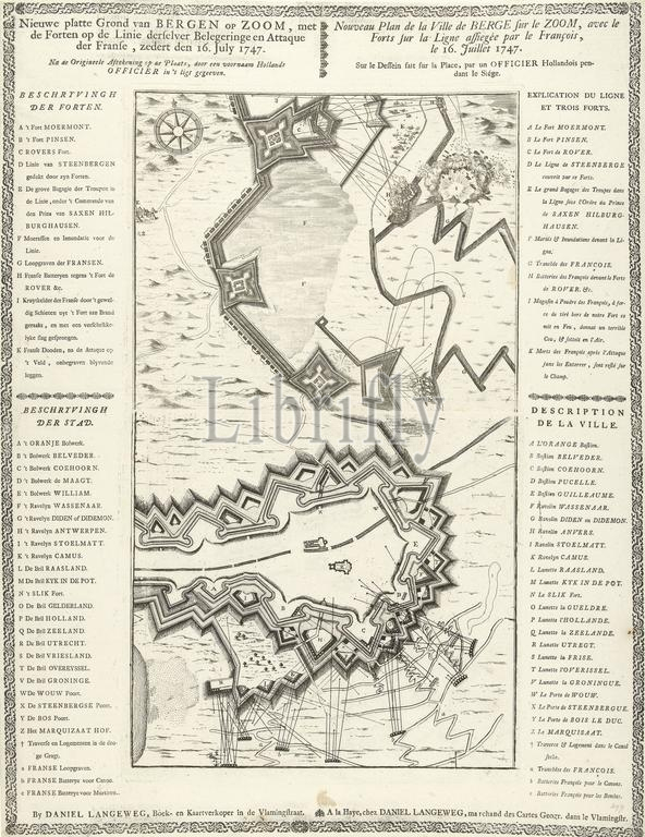
Map of the siege of Bergen op Zoom, 1747, New plan of Bergen op Zoom, with the Forts on the Line with their respective Siege and Attaque of the French, since 16 July 1747, Nouveau Plan de la Ville de Berge sur le Zoom (...) (title on object), Map of the siege of Bergen op Zoom by the French, started on July 12, 1747. Map printed from two plates with the legends in Dutch and French on both sides, all in a decorative edge., print, print maker: anonymous, publisher: Daniel Joannes Langeweg, (mentioned on object), print maker: Northern Netherlands, publisher: The Hague, 1747, paper, etching, engraving, letterpress printing, height, 515 mm × width, 397 mm
Keywords:
Map, siege, Bergen, op, Zoom, 1747, New plan, Forts, Line, respective Siege, Attaque, French, 16 July 1747, Nouveau Plan de la Ville de Berge, le Zoom, title, object, started, July 12, Map printed, two plates, legends, Dutch, sides, decorative edge, print, print maker, anonymous, publisher, Daniel Joannes Langeweg, mentioned, Northern Netherlands, Hague, paper, etching, engraving, letterpress printing, height, 515 mm × width, 397 mm
Image ID:
The watermark in the image will not appear on the final download.